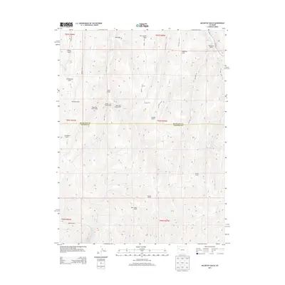
2013 Map of McCarthy Gulch
USGS Topo · Published 2013About this map
Piceance Creek and its complex network of tributaries define this rugged section of the Western Slope, where the boundary between Rio Blanco and Garfield counties cuts through a landscape of deep erosional features. The terrain is marked by dozens of named drainage systems, including McCarthy Gulch, Story Gulch, and Lichliter Gulch, illustrating the intricate natural irrigation and topographic challenges of the region.
Find a feature on this map
34 named features on this map. Tap any name to fly to it.
Don’t see what you’re looking for? This feature index may not catch every label — zoom into the map to look around manually.
Map Details
Editions of this 2013 McCarthy Gulch Map
This is the sole edition of this map. No revisions or reprints were ever made.
Other maps of this area

1906 · Grand Hogback
USGS Topo · 1:125,000

1910 · Grand Hogback
USGS Topo · 1:125,000

1925 · Parachute Creek
USGS Topo · 1:62,500

1927 · Parachute Creek
USGS Topo · 1:62,500

1952 · Rio Blanco
USGS Topo · 1:24,000

1952 · Anvil Points
USGS Topo · 1:24,000

1952 · Jessup Gulch
USGS Topo · 1:24,000

1952 · No Name Ridge
USGS Topo · 1:24,000

1956 · Grand Junction
USGS Topo · 1:250,000

1957 · Leadville
USGS Topo · 1:250,000