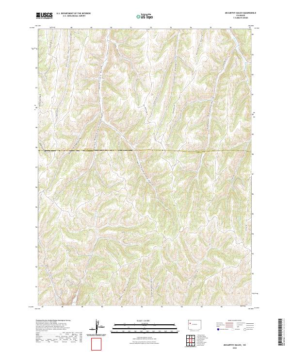
2022 Map of McCarthy Gulch
USGS Topo · Published 2022About this map
Piceance Ck and its complex network of seasonal drainages define this high-country landscape along the border of Rio Blanco and Garfield counties. The terrain is characterized by a dense system of deeply incised ravines including Gordon Gulch, Story Gulch, and the namesake McCarthy Gulch. This 2022 survey captures the area's transition from traditional land use toward modern infrastructure, with Co HWY 249 and Co RD 5 providing access through the otherwise difficult topography.
Find a feature on this map
31 named features on this map. Tap any name to fly to it.
Don’t see what you’re looking for? This feature index may not catch every label — zoom into the map to look around manually.
Map Details
Editions of this 2022 McCarthy Gulch Map
This is the sole edition of this map. No revisions or reprints were ever made.
Other maps of this area

1906 · Grand Hogback
USGS Topo · 1:125,000

1910 · Grand Hogback
USGS Topo · 1:125,000

1925 · Parachute Creek
USGS Topo · 1:62,500

1927 · Parachute Creek
USGS Topo · 1:62,500

1952 · Rio Blanco
USGS Topo · 1:24,000

1952 · Anvil Points
USGS Topo · 1:24,000

1952 · Jessup Gulch
USGS Topo · 1:24,000

1952 · No Name Ridge
USGS Topo · 1:24,000

1956 · Grand Junction
USGS Topo · 1:250,000

1957 · Leadville
USGS Topo · 1:250,000