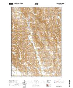
2020 Map of McCarthy Ridge
USGS Topo · Published 2020About this map
The Old Oregon Trl cuts through the eastern edge of this Malheur County landscape, tracing a historical corridor through high-desert terrain near Tub Mtn. This 2020 survey illustrates a complex water management system essential for the region, featuring numerous storage sites like the Tub Mountain Reservoir, West Tub Mountain Reservoir, and McCarthy Ridge Reservoir. The map captures an arid environment defined by seasonal drainages such as Dry Gulch and Willow Cr. Scattered throughout the ridges are vital water sources like Mud Spring, McDowell Spring, and Beirman Spring, which historically supported livestock and travelers in this remote part of eastern Oregon. This map serves as a contemporary record of the land use patterns and topographical features along McCarthy Ridge and its surrounding drainages.
Find a feature on this map
28 named features on this map. Tap any name to fly to it.
Don’t see what you’re looking for? This feature index may not catch every label — zoom into the map to look around manually.
Map Details
Editions of this 2020 McCarthy Ridge Map
This is the sole edition of this map. No revisions or reprints were ever made.
Other maps of this area

1950 · Jamieson
USGS Topo · 1:62,500

1951 · Moores Hollow
USGS Topo · 1:62,500

1951 · Huntington
USGS Topo · 1:62,500

1952 · Olds Ferry
USGS Topo · 1:24,000

1952 · Olds Ferry
USGS Topo · 1:62,500

1955 · Baker
USGS Topo · 1:250,000

1959 · Baker
USGS Topo · 1:250,000

1980 · Brogan
USGS Topo · 1:100,000
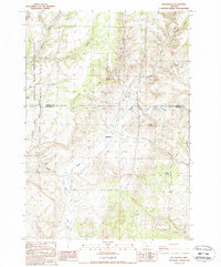
1987 · Willowcreek
USGS Topo · 1:24,000
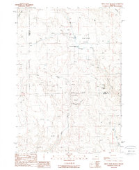
1988 · Birch Creek Meadow
USGS Topo · 1:24,000