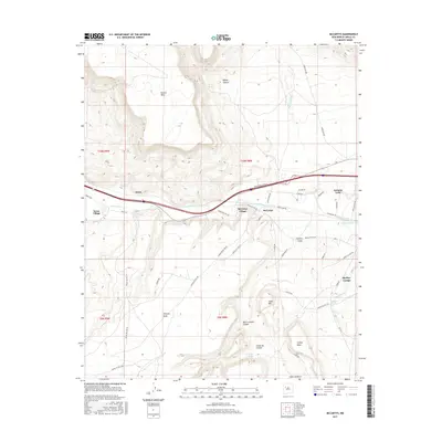
2017 Map of McCartys
USGS Topo · Published 2017About this map
The Rio San Jose corridor serves as the primary artery for settlement and movement in this high-desert region of Cibola County. Clustering along the river and the interstate corridor, the settlements of McCartys Village and Anzac Village represent established communities in a landscape dominated by dramatic volcanic and sedimentary landforms. To the north, the massive Horace Mesa and the depths of Tafoya Canyon define the topography, while the southern portion of the quadrangle is characterized by the expansive McCarty Mesa and Canipa Mesa.
Find a feature on this map
50 named features on this map. Tap any name to fly to it.
Don’t see what you’re looking for? This feature index may not catch every label — zoom into the map to look around manually.
Map Details
Editions of this 2017 McCartys Map
This is the sole edition of this map. No revisions or reprints were ever made.
Other maps of this area

1883 · Mt. Taylor
USGS Topo · 1:250,000

1886 · Mt. Taylor
USGS Topo · 1:250,000

1892 · Mt. Taylor
USGS Topo · 1:250,000

1899 · Mt. Taylor
USGS Topo · 1:250,000

1917 · Broom Mountain
USGS Topo · 1:125,000

1954 · Socorro
USGS Topo · 1:250,000

1957 · Lobo Springs
USGS Topo · 1:24,000

1957 · Mount Taylor
USGS Topo · 1:24,000

1957 · Grants SE
USGS Topo · 1:24,000

1957 · Mc Cartys
USGS Topo · 1:24,000