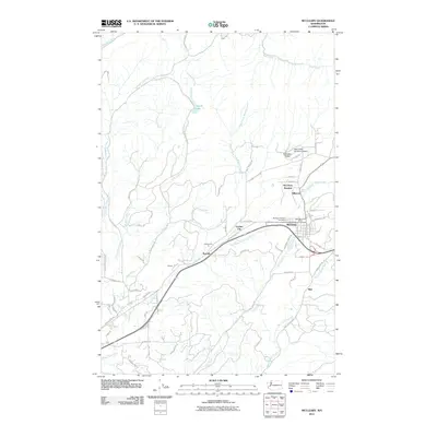
2011 Map of McCleary
USGS Topo · Published 2011About this map
McCleary serves as the primary hub of this Grays Harbor County landscape, situated at a junction of roads and waterways that define the local topography. The town is marked by local civic landmarks like the McCleary Post Office and the McCleary Pythian Cemetery, while smaller residential and former rail-stop clusters such as McCleary Junction, Hillgrove, and Garden City radiate outward. To the west, the settlements of Rayville and Whites follow the path of the highway and rail corridor, illustrating the linear development typical of timber-rich regions of Western Washington.
Find a feature on this map
66 named features on this map. Tap any name to fly to it.
Don’t see what you’re looking for? This feature index may not catch every label — zoom into the map to look around manually.
Map Details
Editions of this 2011 McCleary Map
This is the sole edition of this map. No revisions or reprints were ever made.
Other maps of this area

1939 · Shelton
USGS Topo · 1:62,500

1941 · Gate
USGS Topo · 1:62,500

1941 · Ford
USGS Topo · 1:62,500

1943 · Nahwatzel Lake
USGS Topo · 1:62,500

1953 · Hoquiam
USGS Topo · 1:250,000

1953 · Rochester
USGS Topo · 1:62,500

1953 · Malone
USGS Topo · 1:62,500

1953 · Shelton
USGS Topo · 1:62,500

1953 · Elma
USGS Topo · 1:62,500

1957 · Hoquiam
USGS Topo · 1:250,000