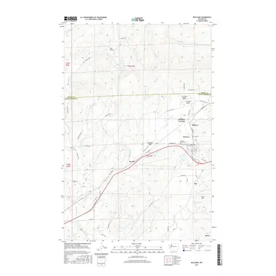
2017 Map of McCleary
USGS Topo · Published 2017About this map
McCleary serves as the primary hub in this Grays Harbor County landscape, where the street grid of the town center meets the surrounding timberlands and valleys. The area is defined by a network of small settlements and historical crossroads including McCleary Junction, Hillgrove, and Garden City. Transport and utility routes are evident through the W Simpson Ave corridor and the Bear Valley Skyranch Airport on Mohneys Prairie.
Find a feature on this map
64 named features on this map. Tap any name to fly to it.
Don’t see what you’re looking for? This feature index may not catch every label — zoom into the map to look around manually.
Map Details
Editions of this 2017 McCleary Map
This is the sole edition of this map. No revisions or reprints were ever made.
Other maps of this area

1939 · Shelton
USGS Topo · 1:62,500

1941 · Gate
USGS Topo · 1:62,500

1941 · Ford
USGS Topo · 1:62,500

1943 · Nahwatzel Lake
USGS Topo · 1:62,500

1953 · Hoquiam
USGS Topo · 1:250,000

1953 · Rochester
USGS Topo · 1:62,500

1953 · Malone
USGS Topo · 1:62,500

1953 · Shelton
USGS Topo · 1:62,500

1953 · Elma
USGS Topo · 1:62,500

1957 · Hoquiam
USGS Topo · 1:250,000