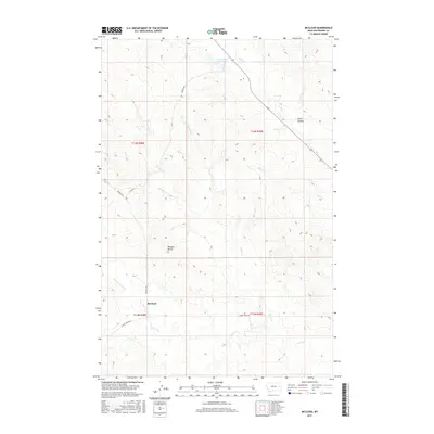
2017 Map of McCloud
USGS Topo · Published 2017About this map
McCloud sits as a central point of reference in this Montana landscape, where the high plains terrain is defined by an intricate network of seasonal drainages and coulees. The local topography is punctuated by prominent landmarks such as Bowgun Butte and Smith Coulee, which provide essential orientation in the open rangeland. Water management for livestock is evident at the Homestead Reservoir in the north, a vital resource in this semi-arid environment.
Find a feature on this map
17 named features on this map. Tap any name to fly to it.
Don’t see what you’re looking for? This feature index may not catch every label — zoom into the map to look around manually.
Map Details
Editions of this 2017 McCloud Map
This is the sole edition of this map. No revisions or reprints were ever made.
Other maps of this area

1953 · Miles City
USGS Topo · 1:250,000

1954 · Glendive
USGS Topo · 1:250,000

1957 · Miles City
USGS Topo · 1:250,000

1957 · Glendive
USGS Topo · 1:250,000

1958 · Miles City
USGS Topo · 1:250,000

1958 · Glendive
USGS Topo · 1:250,000

1972 · Calypso
USGS Topo · 1:24,000

1972 · Papps Reservoir
USGS Topo · 1:24,000

1972 · Mc Clure Reservoir
USGS Topo · 1:24,000

1972 · Mc Cloud
USGS Topo · 1:24,000