2024 Map of McClure
USGS Topo · Published 2024About this map
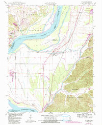
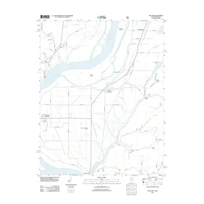
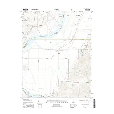
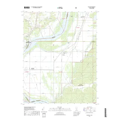
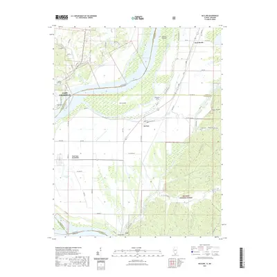
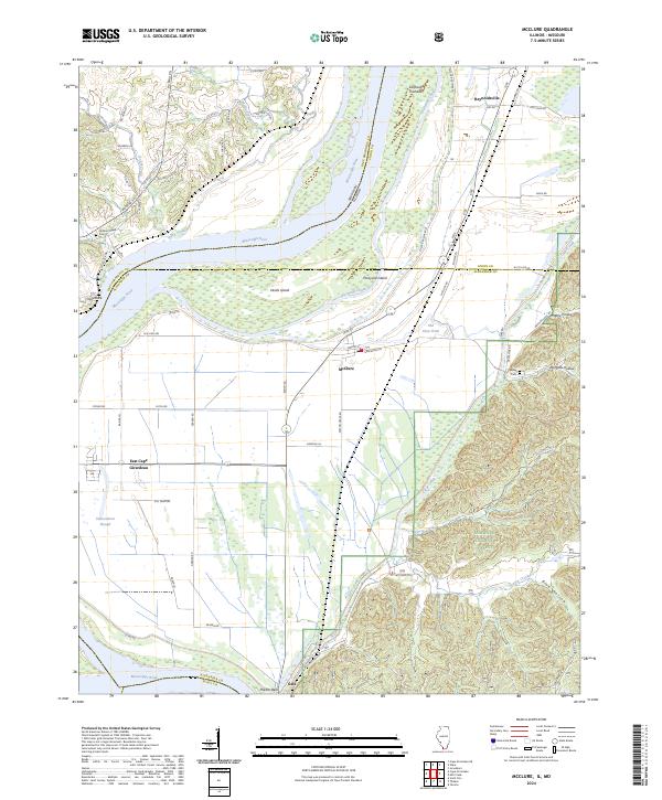
The Mississippi River defines the western reaches of this Alexander County landscape, carving a wide path through the borderlands between Illinois and Missouri. The river's historical shifts are evident in the complex system of chutes and islands, including Devils Island and Picayune Island, which are separated from the mainland by Picayune Chute. To the east, the terrain transitions into the wooded ridges of the Shawnee National Forest, where steep drainages like Dongola Hollow and Blue Hollow cut through the upland topography.
Find a feature on this map
62 named features on this map. Tap any name to fly to it.
Don’t see what you’re looking for? This feature index may not catch every label — zoom into the map to look around manually.
Map Details
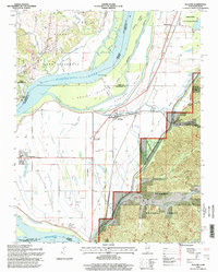
Editions of this 2024 McClure Map
This is the sole edition of this map. No revisions or reprints were ever made.
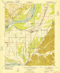
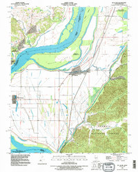
Historical Maps of Cape Girardeau Through Time
9 maps found