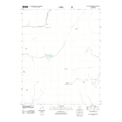
2011 Map of McClure Reservoir
USGS Topo · Published 2011About this map
McClure Reservoir and the McClure Dam sit at the center of this 2011 survey, marking a vital water management point for the high desert environment of Santa Fe County. The terrain is defined by significant elevations, including Thompson Peak, Atalaya Mountain, and Glorieta Baldy. This landscape is heavily shaped by U.S. Forest Service activity, evidenced by the Glorieta Baldy Lookout Tower Historic Site and several established recreational areas like the Glorieta Picnic Area and Black Canyon Forest Camp.
Find a feature on this map
24 named features on this map. Tap any name to fly to it.
Don’t see what you’re looking for? This feature index may not catch every label — zoom into the map to look around manually.
Map Details
Editions of this 2011 McClure Reservoir Map
This is the sole edition of this map. No revisions or reprints were ever made.
Other maps of this area

1889 · Santa Fe
USGS Topo · 1:125,000

1894 · Santa Fe
USGS Topo · 1:125,000

1952 · Santa Fe
USGS Topo · 1:24,000

1952 · Seton Village
USGS Topo · 1:24,000

1953 · Tesuque
USGS Topo · 1:24,000

1953 · Glorieta
USGS Topo · 1:24,000

1953 · Mc Clure Reservoir
USGS Topo · 1:24,000

1953 · Aspen Basin
USGS Topo · 1:24,000

1954 · Santa Fe
USGS Topo · 1:250,000

1958 · Santa Fe
USGS Topo · 1:250,000