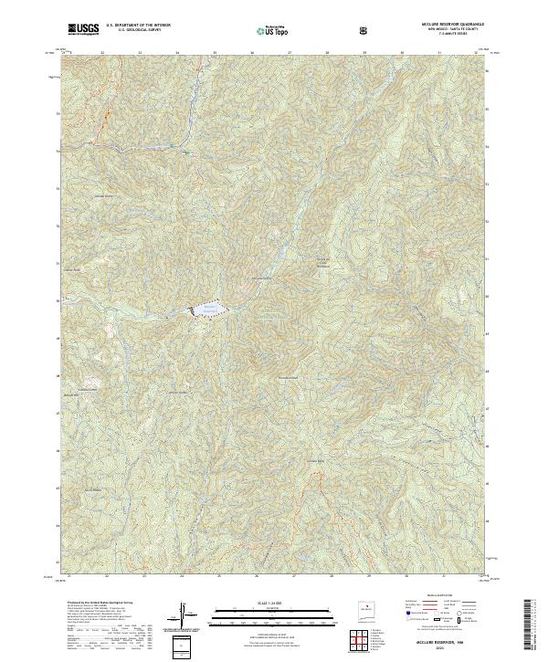
2023 Map of McClure Reservoir
USGS Topo · Published 2023About this map
McClure Reservoir and Nichols Reservoir sit along the upper reaches of the Santa Fe River, serving as critical infrastructure within the high-elevation terrain of the Santa Fe National Forest. This modern 2023 survey illustrates the complex topography of the southern Sangre de Cristo Mountains, where established trails like Saddleback Trl provide access through the protected Pecos Wilderness. The landscape is defined by its dramatic relief, spanning from the summit of Thompson Peak and the high ridge of Glorieta Baldy down to the carved drainages of Arroyo Hondo and Cañada Ancha. These canyons, including Apache Canyon and Dalton Canyon, reveal the natural watershed patterns that dictate land use in this arid region. For researchers, the map provides precise locations for landmarks such as Monument Rock and Granite Point, alongside the winding path of Hyde Park Rd as it climbs toward the wilderness boundary.
Find a feature on this map
35 named features on this map. Tap any name to fly to it.
Don’t see what you’re looking for? This feature index may not catch every label — zoom into the map to look around manually.
Map Details
Editions of this 2023 McClure Reservoir Map
This is the sole edition of this map. No revisions or reprints were ever made.
Other maps of this area

1889 · Santa Fe
USGS Topo · 1:125,000

1894 · Santa Fe
USGS Topo · 1:125,000

1952 · Santa Fe
USGS Topo · 1:24,000

1952 · Seton Village
USGS Topo · 1:24,000

1953 · Tesuque
USGS Topo · 1:24,000

1953 · Glorieta
USGS Topo · 1:24,000

1953 · Mc Clure Reservoir
USGS Topo · 1:24,000

1953 · Aspen Basin
USGS Topo · 1:24,000

1954 · Santa Fe
USGS Topo · 1:250,000

1958 · Santa Fe
USGS Topo · 1:250,000