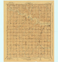
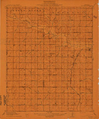
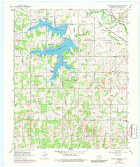
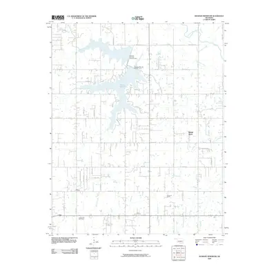
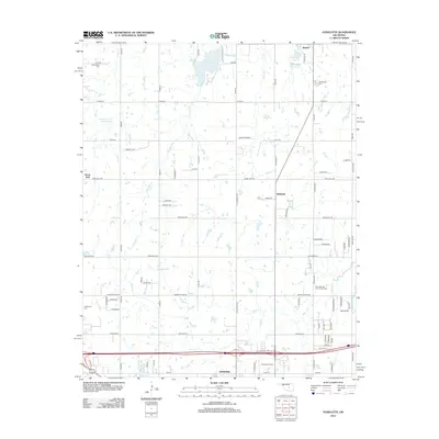
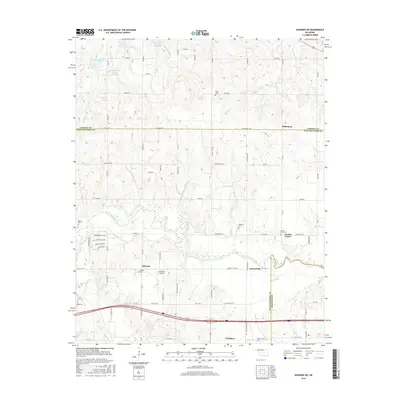
1910 Map of McComb
USGS Topo · Published 1941About this map
The Little River defines the northern reaches of this central Oklahoma landscape, where the Atchison Topeka and Santa Fe railroad serves the small agrarian hubs of McComb and Tribbey. Surveyed shortly after statehood, the map reveals a dense network of local landmarks essential to early 20th-century rural life, with schoolhouses like Twelve Corners School and Science Hill School spaced at regular intervals to serve family farms. The boundary between Cleveland Co Pottawatomie Co runs north-to-south, bisecting a territory where creek systems like Salt Creek and Pond Creek dictated the placement of settlements such as Etowah and Trousdale. Genealogists may find value in the specific locations of rural congregations, including Mars Hill Church and Solomon's Temple School, providing a precise geographic context for family records in this former tribal territory.
Find a feature on this map
74 named features on this map. Tap any name to fly to it.
Don’t see what you’re looking for? This feature index may not catch every label — zoom into the map to look around manually.
Map Details
Editions of this 1910 McComb Map
2 editions found
Historical Maps of Norman Through Time
31 maps found
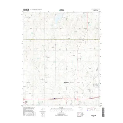
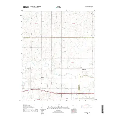
1910 McComb
Pottawatomie County, OK
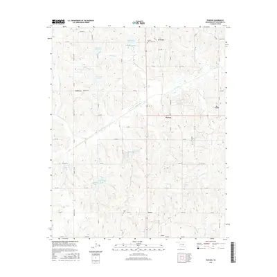
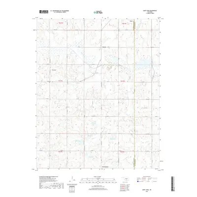
1958 Pearson
Pottawatomie County, OK
1966 Mc Loud
Pottawatomie County, OK
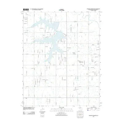
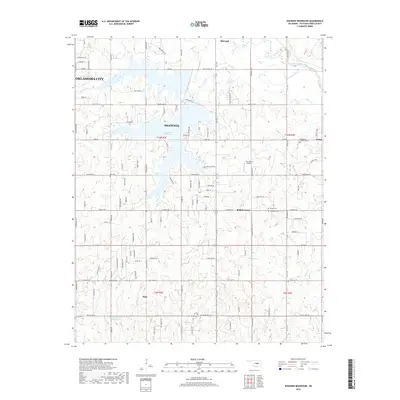
1966 Shawnee Reservoir
Pottawatomie County, OK
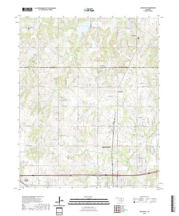
1967 Aydelotte
Pottawatomie County, OK
1967 Shawnee NE
Pottawatomie County, OK
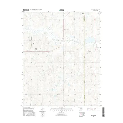
2009 Saint Louis
Pottawatomie County, OK
2009 Shawnee Reservoir
Pottawatomie County, OK
2010 Aydelotte
Pottawatomie County, OK
2010 Pearson
Pottawatomie County, OK
2010 Shawnee NE
Pottawatomie County, OK
2012 Aydelotte
Pottawatomie County, OK
2012 Pearson
Pottawatomie County, OK
2012 Saint Louis
Pottawatomie County, OK
2012 Shawnee NE
Pottawatomie County, OK
2012 Shawnee Reservoir
Pottawatomie County, OK
2016 Aydelotte
Pottawatomie County, OK
2016 Pearson
Pottawatomie County, OK
2016 Saint Louis
Pottawatomie County, OK
2016 Shawnee NE
Pottawatomie County, OK
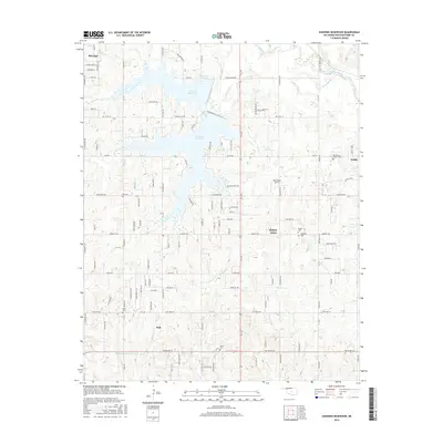
2016 Shawnee Reservoir
Pottawatomie County, OK
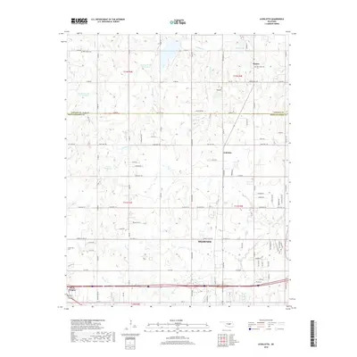
2018 Aydelotte
Pottawatomie County, OK
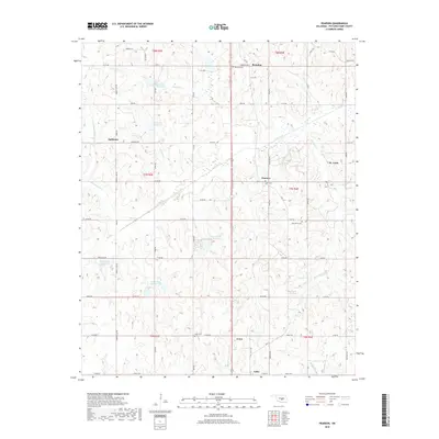
2018 Pearson
Pottawatomie County, OK
2018 Saint Louis
Pottawatomie County, OK
2018 Shawnee NE
Pottawatomie County, OK
2018 Shawnee Reservoir
Pottawatomie County, OK
2022 Aydelotte
Pottawatomie County, OK
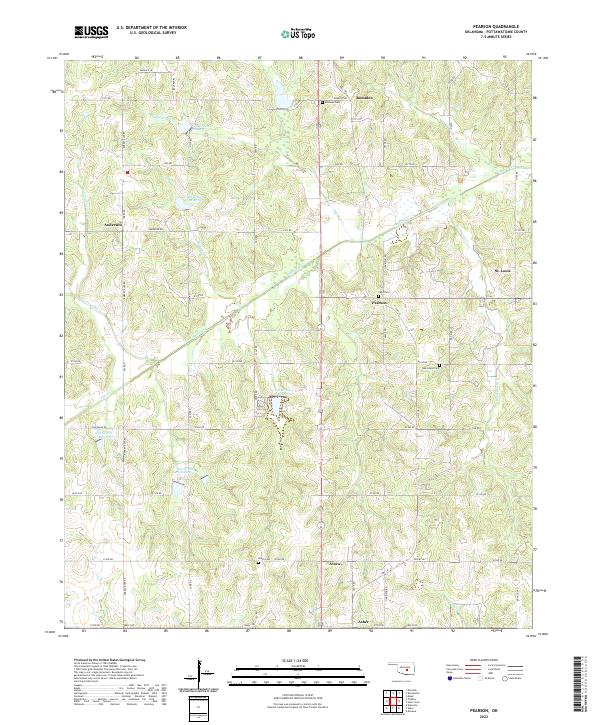
2022 Pearson
Pottawatomie County, OK
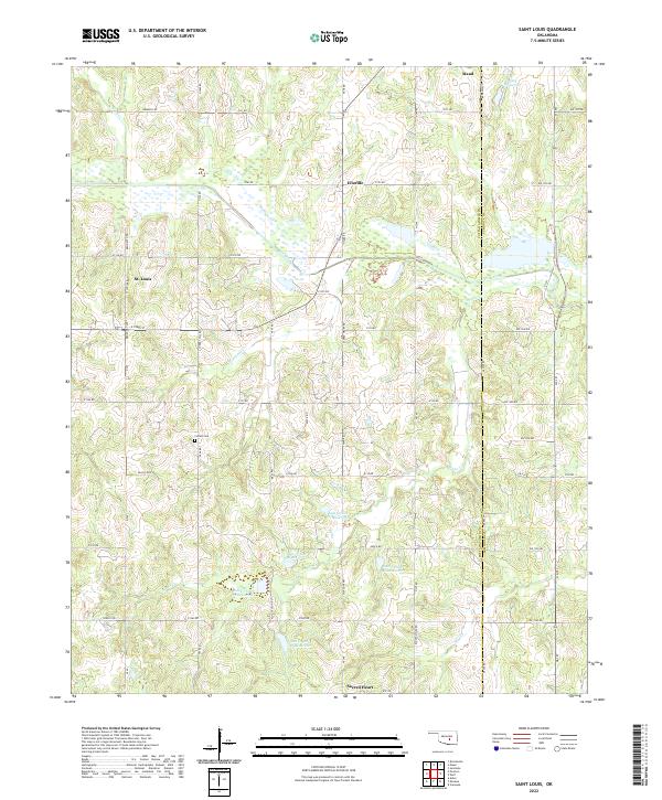
2022 Saint Louis
Pottawatomie County, OK
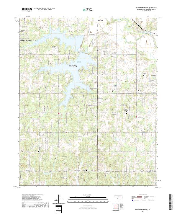
2022 Shawnee Reservoir
Pottawatomie County, OK
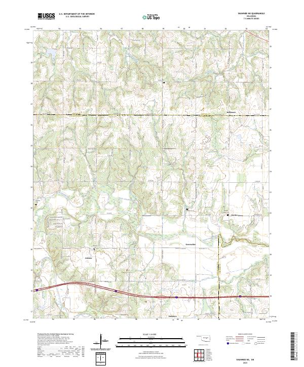
2023 Shawnee NE
Pottawatomie County, OK