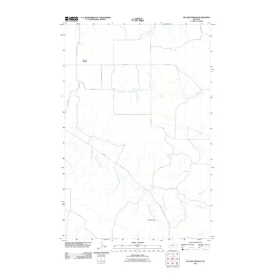
2011 Map of McCone Heights
USGS Topo · Published 2011About this map
McCone Heights serves as the primary landmark in this sparsely populated stretch of Richland County, where a network of gravel and dirt roads defines the high plains landscape. The terrain is deeply incised by drainage systems including Crane Creek in the north and the meandering North Fork Burns Creek to the south. One of the most distinctive geological markers in the area is Chimney Rock, which stands near the banks of the southern fork. The road network, featuring names like Grow Hill Rd and Road 512, follows the ridges and creek valleys, illustrating the geographic challenges of maintaining transportation routes in this part of Montana. For those interested in the land divisions of the early 21st century, the map provides a clear record of the intersection between local routes such as County Rd-117 and the natural flow of Dunlap Creek.
Find a feature on this map
17 named features on this map. Tap any name to fly to it.
Don’t see what you’re looking for? This feature index may not catch every label — zoom into the map to look around manually.
Map Details
Editions of this 2011 McCone Heights Map
This is the sole edition of this map. No revisions or reprints were ever made.
Other maps of this area

1909 · Glendive
USGS Topo · 1:250,000

1954 · Glendive
USGS Topo · 1:250,000

1957 · Glendive
USGS Topo · 1:250,000

1958 · Glendive
USGS Topo · 1:250,000

1966 · Crane NW
USGS Topo · 1:24,000

1966 · Knife River Mine
USGS Topo · 1:24,000

1966 · Intake NW
USGS Topo · 1:24,000

1966 · Allard Ranch
USGS Topo · 1:24,000

1966 · Larson School
USGS Topo · 1:24,000

1972 · Butler Table
USGS Topo · 1:24,000