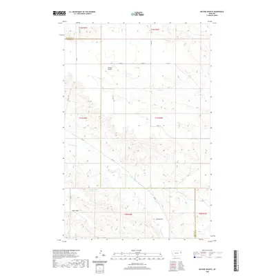
2020 Map of McCone Heights
USGS Topo · Published 2020About this map
McCone Heights sits on the high plains of the Montana-Dakota borderlands, a landscape defined by expansive plateaus and eroded drainages. The area is dominated by the high ground of Butler Table in the southwest, while the notable formation of Chimney Rock stands as a landmark above the N Fork Burns Cr. Water is a scarce and vital resource in this semi-arid region, evidenced by the presence of the 20N56E05AACB01 Spring and the seasonal flows of Crane Cr. The map reveals a systematic grid of county roads, such as Co RD 114 and Co RD 113, that provide access to this ranching country straddling the boundary between Richland and Dawson counties. These surveyed lines reflect the enduring legacy of the Public Land Survey System in organizing the western cattle and wheat lands.
Find a feature on this map
25 named features on this map. Tap any name to fly to it.
Don’t see what you’re looking for? This feature index may not catch every label — zoom into the map to look around manually.
Map Details
Editions of this 2020 McCone Heights Map
This is the sole edition of this map. No revisions or reprints were ever made.
Other maps of this area

1909 · Glendive
USGS Topo · 1:250,000

1954 · Glendive
USGS Topo · 1:250,000

1957 · Glendive
USGS Topo · 1:250,000

1958 · Glendive
USGS Topo · 1:250,000

1966 · Crane NW
USGS Topo · 1:24,000

1966 · Knife River Mine
USGS Topo · 1:24,000

1966 · Intake NW
USGS Topo · 1:24,000

1966 · Allard Ranch
USGS Topo · 1:24,000

1966 · Larson School
USGS Topo · 1:24,000

1972 · Butler Table
USGS Topo · 1:24,000