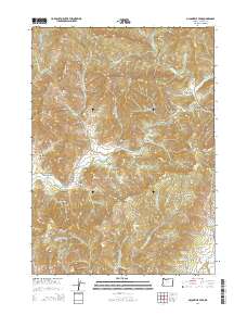
2014 Map of McConville Peak
USGS Topo · Published 2014About this map
McConville Peak and Sardine Mtn anchor this Jackson County landscape, where the drainage networks of Evans Creek and the various forks of Sardine Creek define the topography. The map reveals a region managed largely for timber and resource access, marked by an extensive system of Bureau of Land Management roads such as BLM 35-3-5.0 and BLM 34-4-24. In the southeast, the terrain softens into Sams Valley, a significant local geographic feature that contrasts with the steep gulches found elsewhere.
Find a feature on this map
79 named features on this map. Tap any name to fly to it.
Don’t see what you’re looking for? This feature index may not catch every label — zoom into the map to look around manually.
Map Details
Editions of this 2014 McConville Peak Map
This is the sole edition of this map. No revisions or reprints were ever made.
Other maps of this area

1891 · Ashland
USGS Topo · 1:250,000

1893 · Ashland
USGS Topo · 1:250,000

1897 · Ashland
USGS Topo · 1:250,000

1904 · Riddle
USGS Topo · 1:125,000

1908 · Grants Pass
USGS Topo · 1:125,000

1938 · Medford
USGS Topo · 1:125,000

1943 · Trail
USGS Topo · 1:62,500

1954 · Medford
USGS Topo · 1:62,500

1954 · Gold Hill
USGS Topo · 1:62,500

1954 · Wimer
USGS Topo · 1:62,500