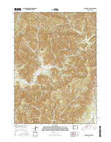
2017 Map of McConville Peak
USGS Topo · Published 2017About this map
McConville Peak stands as the central landmark in this drainage basin where Evans Creek meets a complex network of named gulches and hollows. The settlement of Wimer sits at the western edge of the sheet, serving as a gateway to the narrow valleys of Sykes Cr and Evans Creek Rd. The landscape is defined by its water resources, from the high Hillis Peak Spr and Holcomb Springs to the irrigation potential found at Blair Reservoir and Gregory Reservoir. Moving eastward toward Sams Valley, the terrain transitions into more established roadway networks like Sams Cr and Holcomb Springs Rd. The map documents a rugged interior divided by numerous family-named landmarks such as Neathammer Gulch, Davies Gulch, and Braton Hollow, illustrating the historical reliance on these specific topographical breaks for navigation and settlement in the southern Oregon mountains.
Find a feature on this map
68 named features on this map. Tap any name to fly to it.
Don’t see what you’re looking for? This feature index may not catch every label — zoom into the map to look around manually.
Map Details
Editions of this 2017 McConville Peak Map
This is the sole edition of this map. No revisions or reprints were ever made.
Other maps of this area

1891 · Ashland
USGS Topo · 1:250,000

1893 · Ashland
USGS Topo · 1:250,000

1897 · Ashland
USGS Topo · 1:250,000

1904 · Riddle
USGS Topo · 1:125,000

1908 · Grants Pass
USGS Topo · 1:125,000

1938 · Medford
USGS Topo · 1:125,000

1943 · Trail
USGS Topo · 1:62,500

1954 · Medford
USGS Topo · 1:62,500

1954 · Gold Hill
USGS Topo · 1:62,500

1954 · Wimer
USGS Topo · 1:62,500