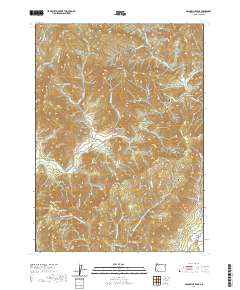
2020 Map of McConville Peak
USGS Topo · Published 2020About this map
McConville Peak and Sardine Mtn anchor this Jackson County landscape, overlooking a series of deep drainage gulches and ridges that feed into the larger creek systems. The terrain is defined by a dense network of watercourses, including the Middle Fork Sardine Cr and Evans Creek, which carve through the high elevations. Local infrastructure is primarily represented by winding forest roads such as Sykes Creek Rd and May Creek Rd, tracing the paths of early settlers and timber access.
Find a feature on this map
64 named features on this map. Tap any name to fly to it.
Don’t see what you’re looking for? This feature index may not catch every label — zoom into the map to look around manually.
Map Details
Editions of this 2020 McConville Peak Map
This is the sole edition of this map. No revisions or reprints were ever made.
Other maps of this area

1891 · Ashland
USGS Topo · 1:250,000

1893 · Ashland
USGS Topo · 1:250,000

1897 · Ashland
USGS Topo · 1:250,000

1904 · Riddle
USGS Topo · 1:125,000

1908 · Grants Pass
USGS Topo · 1:125,000

1938 · Medford
USGS Topo · 1:125,000

1943 · Trail
USGS Topo · 1:62,500

1954 · Medford
USGS Topo · 1:62,500

1954 · Gold Hill
USGS Topo · 1:62,500

1954 · Wimer
USGS Topo · 1:62,500