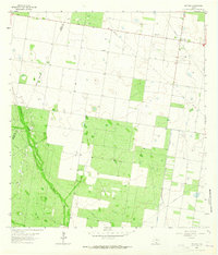
1963 Map of McCook
USGS Topo · Published 1965About this map
McCook and the nearby Stone settlement anchor this South Texas landscape in the early 1960s, a period defined by the expanding energy infrastructure of the Rio Grande Valley. The map documents a sparse but vital network of industry and faith, centered on the Javelina Gas Field and the Flores Gas Field. These industrial features are interspersed with markers of local heritage, most notably the Immaculate Conception Cem, which serves as a significant genealogical point of interest for the region.
Find a feature on this map
11 named features on this map. Tap any name to fly to it.
Don’t see what you’re looking for? This feature index may not catch every label — zoom into the map to look around manually.
Map Details
Editions of this 1963 McCook Map
This is the sole edition of this map. No revisions or reprints were ever made.
Other maps of this area

1938 · Sal Colorada
USGS Topo · 1:62,500

1939 · La Reforma
USGS Topo · 1:62,500

1940 · Monte Christo
USGS Topo · 1:62,500

1949 · Mc Allen
USGS Topo · 1:250,000

1954 · McAllen
USGS Topo · 1:250,000

1956 · Garcias
USGS Topo · 1:62,500

1957 · Mc Allen
USGS Topo · 1:250,000

1962 · McAllen
USGS Topo · 1:250,000

1963 · Monte Christo
USGS Topo · 1:24,000

1963 · Citrus City
USGS Topo · 1:24,000