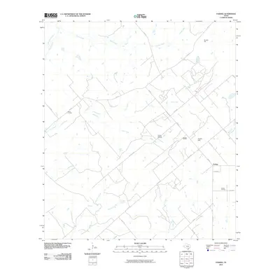
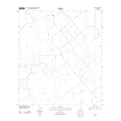
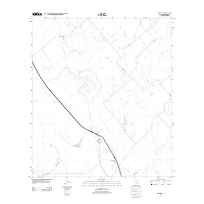
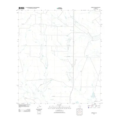
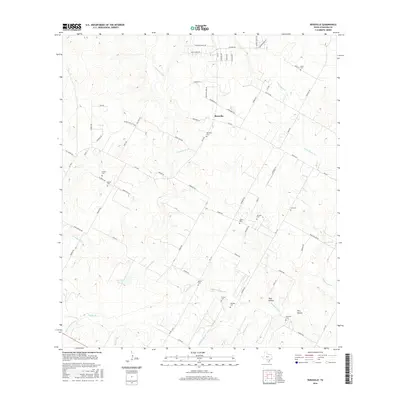
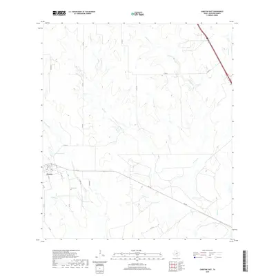
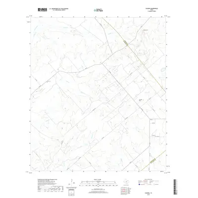
1968 Map of McCoy
USGS Topo · Published 1986About this map
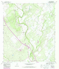
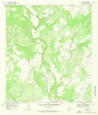
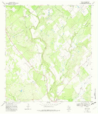
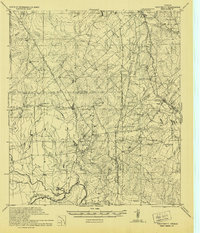
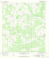
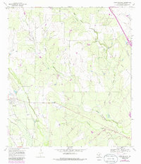
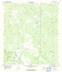
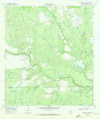
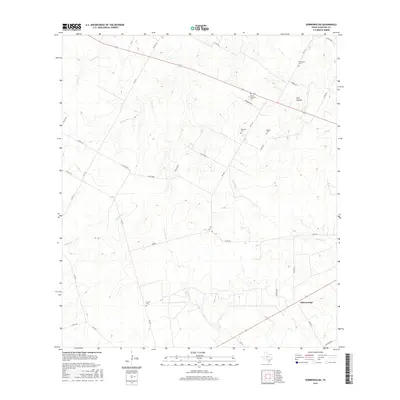
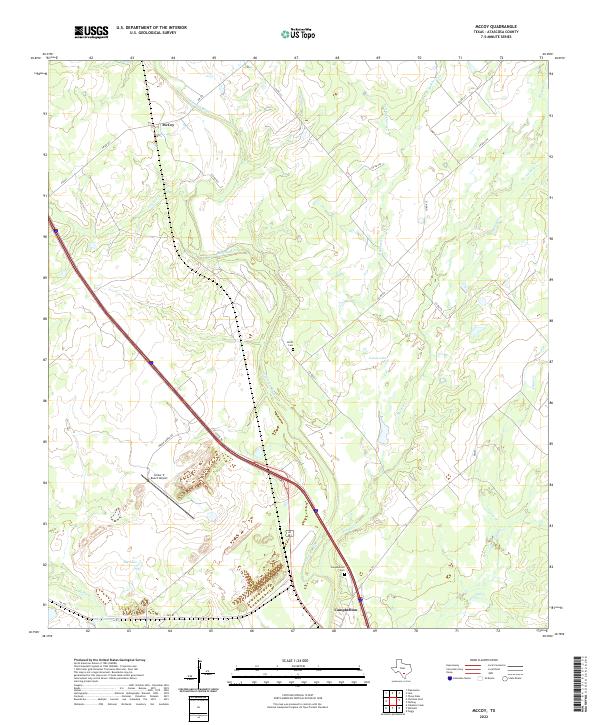
The Atascosa River carves a winding path through this south Texas landscape, defining a terrain shaped by both water and industry. During this late 1960s survey, the Missouri Pacific railroad serves as a primary north-south corridor, passing through the settlement of McCoy and traversing the rural stretches of Atascosa County. The area is dotted with evidence of natural resources and infrastructure, from a Gravel Pit and scattered Oil Wells to the utility lines marked as Pipeline.
Find a feature on this map
20 named features on this map. Tap any name to fly to it.
Don’t see what you’re looking for? This feature index may not catch every label — zoom into the map to look around manually.
Map Details
Editions of this 1968 McCoy Map
Historical Maps of McCoy Through Time
68 maps found
1930 Whitsett
Atascosa County, TX
1942 Whitsett
Atascosa County, TX
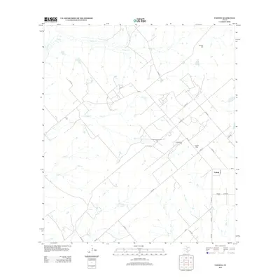
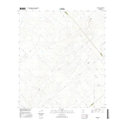
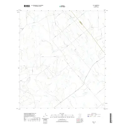
1961 Fashing
Atascosa County, TX
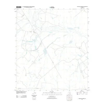
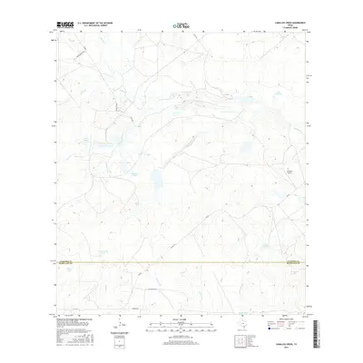
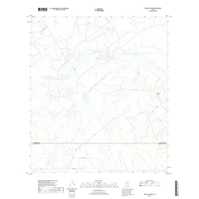
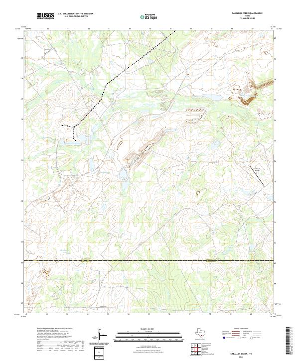
1965 Caballos Creek
Atascosa County, TX
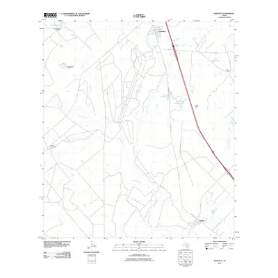
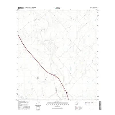
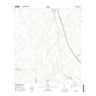
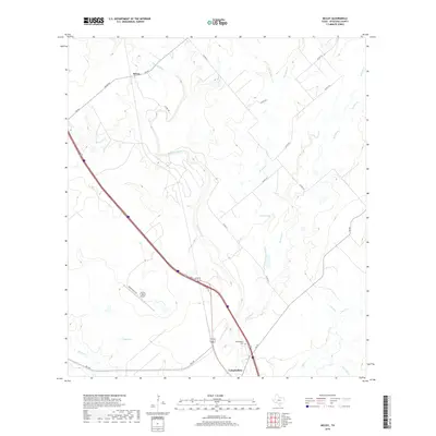
1965 Whitsett
Atascosa County, TX
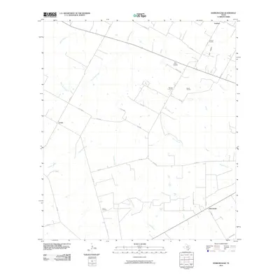
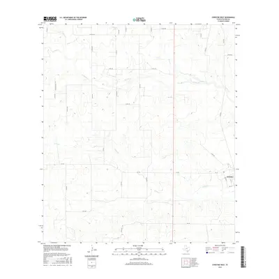
1968 Christine West
Atascosa County, TX
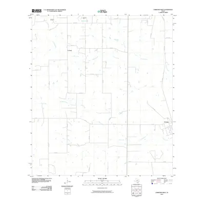
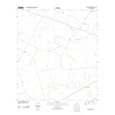
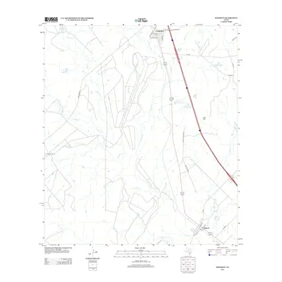
1968 Dobrowolski
Atascosa County, TX
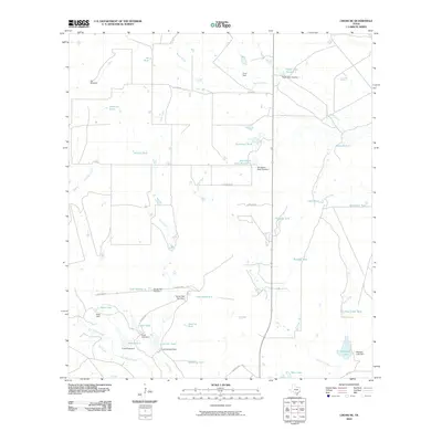
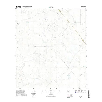
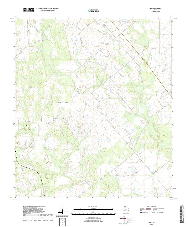
1968 Leal
Atascosa County, TX
1968 McCoy
Atascosa County, TX
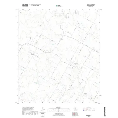
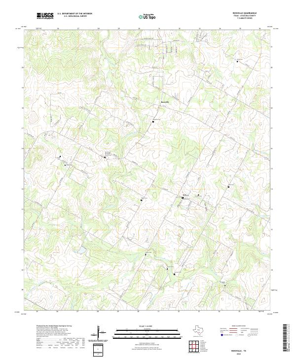
1968 Rossville
Atascosa County, TX
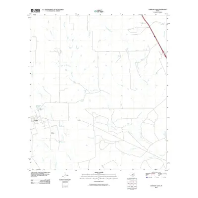
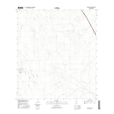
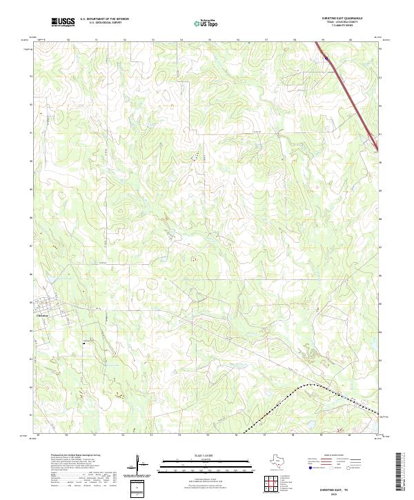
1969 Christine East
Atascosa County, TX
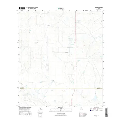
1969 Cross NE
Atascosa County, TX
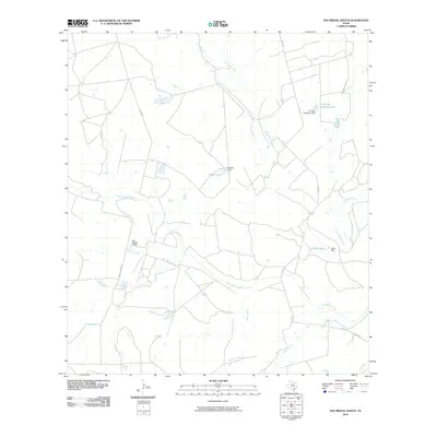
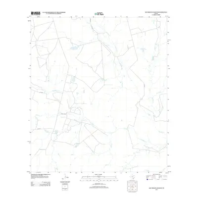
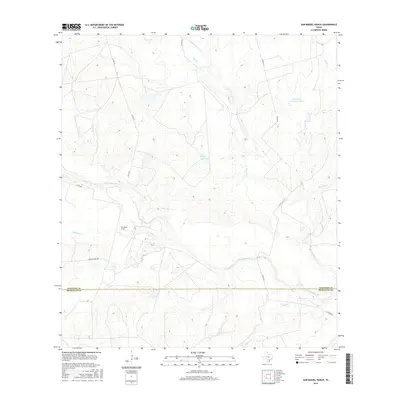
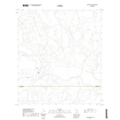
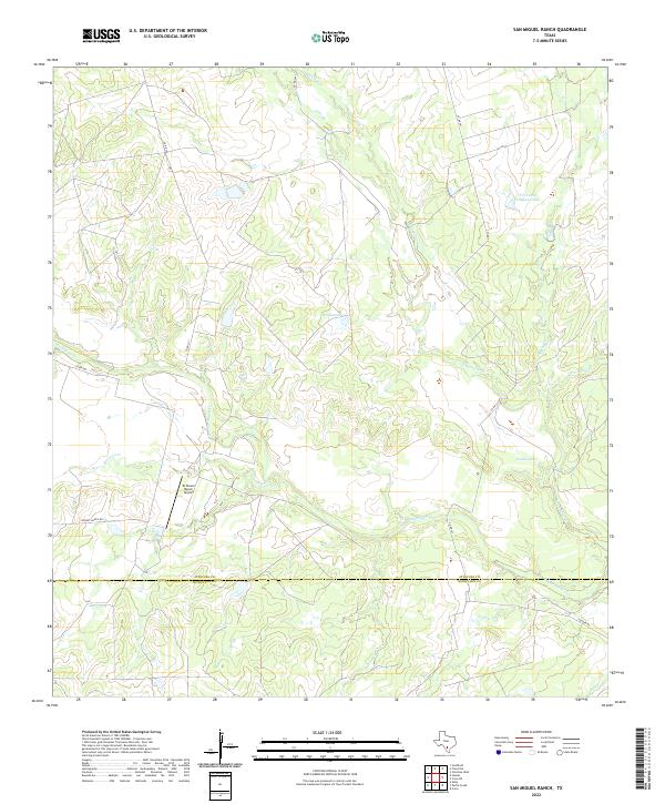
1969 San Miguel Ranch
Atascosa County, TX
2010 Caballos Creek
Atascosa County, TX
2010 Christine East
Atascosa County, TX
2010 Christine West
Atascosa County, TX
2010 Cross NE
Atascosa County, TX
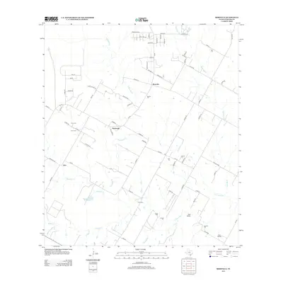
2010 Dobrowolski
Atascosa County, TX
2010 Fashing
Atascosa County, TX
2010 Leal
Atascosa County, TX
2010 McCoy
Atascosa County, TX
2010 Rossville
Atascosa County, TX
2010 San Miguel Ranch
Atascosa County, TX
2010 Whitsett
Atascosa County, TX

2012 Christine East
Atascosa County, TX
2012 Dobrowolski
Atascosa County, TX
2012 Leal
Atascosa County, TX
2012 McCoy
Atascosa County, TX
2012 Whitsett
Atascosa County, TX
2013 Caballos Creek
Atascosa County, TX
2013 Christine West
Atascosa County, TX
2013 Cross NE
Atascosa County, TX
2013 Fashing
Atascosa County, TX
2013 Rossville
Atascosa County, TX
2013 San Miguel Ranch
Atascosa County, TX
2016 Caballos Creek
Atascosa County, TX
2016 Christine East
Atascosa County, TX
2016 Christine West
Atascosa County, TX
2016 Cross NE
Atascosa County, TX
2016 Dobrowolski
Atascosa County, TX
2016 Fashing
Atascosa County, TX
2016 Leal
Atascosa County, TX
2016 McCoy
Atascosa County, TX
2016 Rossville
Atascosa County, TX
2016 San Miguel Ranch
Atascosa County, TX
2016 Whitsett
Atascosa County, TX
2019 Caballos Creek
Atascosa County, TX
2019 Christine East
Atascosa County, TX
2019 Christine West
Atascosa County, TX
2019 Cross NE
Atascosa County, TX
2019 Dobrowolski
Atascosa County, TX
2019 Fashing
Atascosa County, TX
2019 Leal
Atascosa County, TX
2019 McCoy
Atascosa County, TX
2019 Rossville
Atascosa County, TX
2019 San Miguel Ranch
Atascosa County, TX
2019 Whitsett
Atascosa County, TX
2022 Caballos Creek
Atascosa County, TX
2022 Christine East
Atascosa County, TX
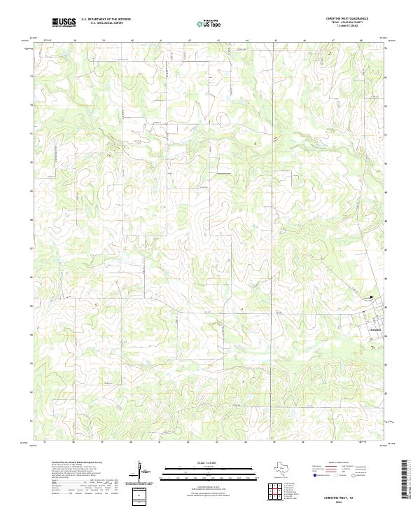
2022 Christine West
Atascosa County, TX
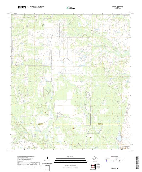
2022 Cross NE
Atascosa County, TX
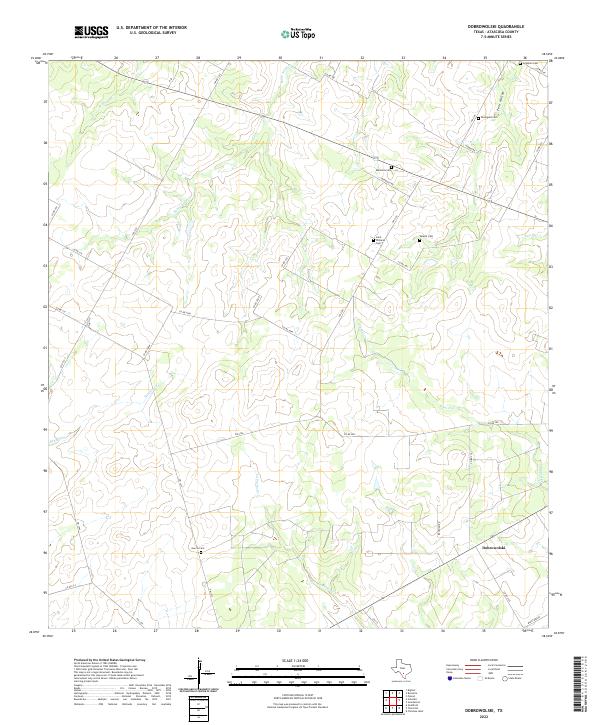
2022 Dobrowolski
Atascosa County, TX
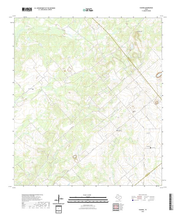
2022 Fashing
Atascosa County, TX
2022 Leal
Atascosa County, TX
2022 McCoy
Atascosa County, TX
2022 Rossville
Atascosa County, TX
2022 San Miguel Ranch
Atascosa County, TX
2022 Whitsett
Atascosa County, TX