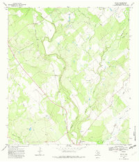
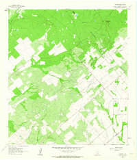
1968 Map of McCoy
USGS Topo · Published 1982About this map
The Atascosa River winds through the center of this South Texas landscape, defining a terrain of brushy bottomlands and scattered ranching infrastructure in the late 1960s. The small settlement of McCoy sits in the northwest corner, positioned along the Missouri Pacific railroad line which parallels the river valley. The map reveals a land utilized for both ranching and early petroleum extraction, evidenced by Oil Wells and a prominent Pipeline cutting across the southwestern quadrant.
Find a feature on this map
21 named features on this map. Tap any name to fly to it.
Don’t see what you’re looking for? This feature index may not catch every label — zoom into the map to look around manually.
Map Details
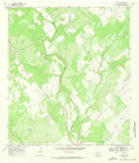
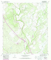
Editions of this 1968 McCoy Map
Other maps of this area

1930 · Whitsett
USGS Topo · 1:62,500

1931 · Falls City
USGS Topo · 1:62,500

1942 · Whitsett
USGS Topo · 1:62,500

1953 · Crystal City
USGS Topo · 1:250,000

1955 · Crystal City
USGS Topo · 1:250,000

1956 · Suniland
USGS Topo · 1:62,500

1956 · Pleasanton
USGS Topo · 1:62,500

1961 · Crystal City
USGS Topo · 1:250,000
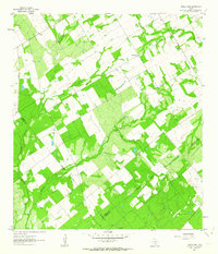
1961 · Three Oaks
USGS Topo · 1:24,000
1961 · Fashing
USGS Topo · 1:24,000