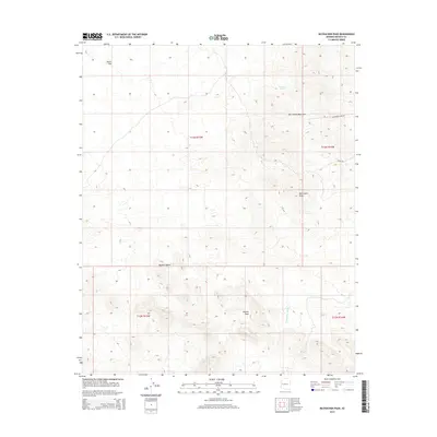
2014 Map of McCracken Peak
USGS Topo · Published 2014About this map
McCracken Peak rises as a central landmark in this high-desert landscape within the Mojave Desert. The map documents a rugged section of western Arizona, where the McCracken Mountains dominate the northeastern terrain. Mining history and desert navigation are etched into the land through routes like McCracken Mine Rd and Signal Rd, which thread through the drainage systems of Centennial Wash. To the west, the topography softens into the wide expanse of Dutch Flat. Essential water sources for early travelers and locals are noted at Bateman Spring below the mountain slopes. The survey provides a clear view of the complex elevation changes between the peaks and the surrounding alluvial plains, illustrating the desolate yet vital transport corridors used to access the region's mineral resources.
Find a feature on this map
13 named features on this map. Tap any name to fly to it.
Don’t see what you’re looking for? This feature index may not catch every label — zoom into the map to look around manually.
Map Details
Editions of this 2014 McCracken Peak Map
This is the sole edition of this map. No revisions or reprints were ever made.
Other maps of this area

1923 · Signal
USGS Topo · 1:250,000

1942 · Signal
USGS Topo · 1:250,000

1950 · Prescott
USGS Topo · 1:250,000

1954 · Prescott
USGS Topo · 1:250,000

1958 · Prescott
USGS Topo · 1:250,000

1959 · Prescott
USGS Topo · 1:250,000

1960 · Prescott
USGS Topo · 1:250,000

1965 · Prescott
USGS Topo · 1:250,000
1966 · Castaneda Hills
USGS Topo · 1:62,500

1966 · Artillery Peak
USGS Topo · 1:62,500