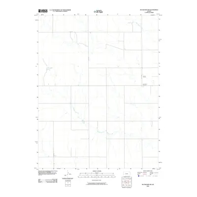
2009 Map of McCracken SW
USGS Topo · Published 2009About this map
Alexander Dry Creek and Big Timber Creek define the drainage patterns of this rural Ness County landscape, carving winding paths through the open terrain. The settlement pattern is strictly defined by a rectilinear grid of section roads, including E 240 Rd and Co Rd 565, which facilitate transport across the agricultural interior. Local history is anchored by the presence of Ramsey Cemetery and Saint Marys Cemetery, located in the eastern portion of the quadrangle along Co Rd 498. These small, dedicated sites serve as primary genealogical landmarks for families rooted in this central Kansas prairie, where the lack of formal town centers highlights the importance of rural parish and community burial grounds in the early 21st century.
Find a feature on this map
7 named features on this map. Tap any name to fly to it.
Don’t see what you’re looking for? This feature index may not catch every label — zoom into the map to look around manually.
Map Details
Editions of this 2009 McCracken SW Map
This is the sole edition of this map. No revisions or reprints were ever made.
Other maps of this area

1892 · Ness
USGS Topo · 1:125,000

1893 · Ellis
USGS Topo · 1:125,000

1894 · Ness
USGS Topo · 1:125,000

1955 · Great Bend
USGS Topo · 1:250,000

1957 · Great Bend
USGS Topo · 1:250,000

1958 · Great Bend
USGS Topo · 1:250,000

1965 · Mc Cracken
USGS Topo · 1:24,000

1966 · Alexander
USGS Topo · 1:24,000

1966 · Ransom SE
USGS Topo · 1:24,000

1966 · Mc Cracken SW
USGS Topo · 1:24,000