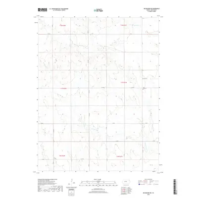
2018 Map of McCracken SW
USGS Topo · Published 2018About this map
Ramsey Cem and Saint Mary's Cem provide anchor points for family history and genealogy in this western Kansas landscape. The terrain is defined by the ephemeral drainage of Alexander Dry Creek and Big Timber Creek, which carve subtle topography across the vast grid of Section, Township, and Range lines. This 2018 survey documents the enduring agricultural layout of the region, where a network of gravel and dirt roads like Co Rd 565 and E 240 Rd provides access to remote farmsteads and fields. The absence of large-scale development highlights the continuity of rural land use in this part of Ness County, where the landscape remains focused on the relationship between water sources and the surveyed township boundaries.
Find a feature on this map
17 named features on this map. Tap any name to fly to it.
Don’t see what you’re looking for? This feature index may not catch every label — zoom into the map to look around manually.
Map Details
Editions of this 2018 McCracken SW Map
This is the sole edition of this map. No revisions or reprints were ever made.
Other maps of this area

1892 · Ness
USGS Topo · 1:125,000

1893 · Ellis
USGS Topo · 1:125,000

1894 · Ness
USGS Topo · 1:125,000

1955 · Great Bend
USGS Topo · 1:250,000

1957 · Great Bend
USGS Topo · 1:250,000

1958 · Great Bend
USGS Topo · 1:250,000

1965 · Mc Cracken
USGS Topo · 1:24,000

1966 · Alexander
USGS Topo · 1:24,000

1966 · Ransom SE
USGS Topo · 1:24,000

1966 · Mc Cracken SW
USGS Topo · 1:24,000