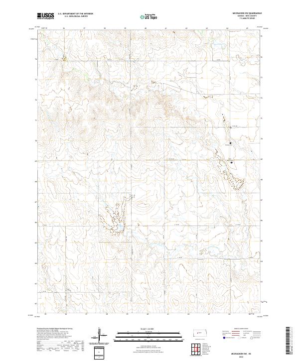
2022 Map of McCracken SW
USGS Topo · Published 2022About this map
Ness County farmland is defined by the winding course of Alexander Dry Cr as it carves through the central and southern portions of this Kansas landscape. The terrain reveals the organized grid of the Public Land Survey System, where section lines are traced by a network of rural roads including N DD RD and E 190 RD. These thoroughfares connect the scattered traces of pioneer settlement, most notably the historic burials at Saint Mary's Cem and Ramsey Cem. Northward, the topography levels out as Big Timber Cr enters the frame, marking a transition in the drainage patterns of the High Plains. This 2022 survey documents the persistent agricultural character of the region, where the intersection of Co RD 498 and other county routes maintains the spatial logic established during early settlement.
Find a feature on this map
21 named features on this map. Tap any name to fly to it.
Don’t see what you’re looking for? This feature index may not catch every label — zoom into the map to look around manually.
Map Details
Editions of this 2022 McCracken SW Map
This is the sole edition of this map. No revisions or reprints were ever made.
Other maps of this area

1892 · Ness
USGS Topo · 1:125,000

1893 · Ellis
USGS Topo · 1:125,000

1894 · Ness
USGS Topo · 1:125,000

1955 · Great Bend
USGS Topo · 1:250,000

1957 · Great Bend
USGS Topo · 1:250,000

1958 · Great Bend
USGS Topo · 1:250,000

1965 · Mc Cracken
USGS Topo · 1:24,000

1966 · Alexander
USGS Topo · 1:24,000

1966 · Ransom SE
USGS Topo · 1:24,000

1966 · Mc Cracken SW
USGS Topo · 1:24,000