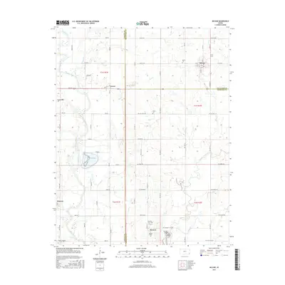
2016 Map of McCune
USGS Topo · Published 2016About this map
The Neosho River flows along the western edge of this landscape, carving a wide valley near the settlement of Laneville. Further east, the town of McCune sits at a major crossroads, defined by its systematic street grid including 5th St and 6th St. This 2016 survey captures a predominantly agricultural region where the borders of Labette, Crawford, and Cherokee counties meet. The interior is punctuated by small, established hamlets such as Strauss and Sherman, often situated near small cemeteries like the Harley Cem or Sherman Cem.
Find a feature on this map
46 named features on this map. Tap any name to fly to it.
Don’t see what you’re looking for? This feature index may not catch every label — zoom into the map to look around manually.
Map Details
Editions of this 2016 McCune Map
This is the sole edition of this map. No revisions or reprints were ever made.
Other maps of this area

1886 · Joplin
USGS Topo · 1:125,000

1886 · Parsons
USGS Topo · 1:125,000

1893 · Parsons
USGS Topo · 1:125,000

1894 · Joplin
USGS Topo · 1:125,000

1918 · Columbus
USGS Topo · 1:62,500

1943 · McCune
USGS Topo · 1:62,500

1943 · Cherokee
USGS Topo · 1:62,500

1944 · Oswego
USGS Topo · 1:62,500

1945 · Mc Cune
USGS Topo · 1:62,500

1945 · Cherokee
USGS Topo · 1:62,500