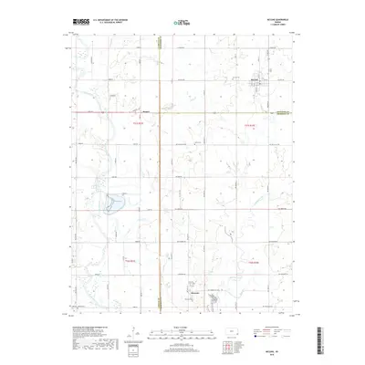
2018 Map of McCune
USGS Topo · Published 2018About this map
McCune serves as the primary hub in this Southeast Kansas landscape, situated at the junction of S 50th St and W 510th Ave. The map illustrates a region defined by its precise section-line road grid and significant hydrological features, most notably the winding Neosho River along the western edge and Lightning Creek to the southeast. Small settlements like Strauss and Sherman are anchored by rural intersections, while local history is preserved in several scattered burial grounds including Harley Cem and Sherman Cem. The terrain is shaped by the drainage patterns of Litup Cr and Hickory Cr, which cut through the agricultural plots. This survey captures the rural character of the Crawford, Labette, and Cherokee county borders, showing a late 2010s view of the enduring road network and small-town infrastructure that has supported these farming communities for generations.
Find a feature on this map
64 named features on this map. Tap any name to fly to it.
Don’t see what you’re looking for? This feature index may not catch every label — zoom into the map to look around manually.
Map Details
Editions of this 2018 McCune Map
This is the sole edition of this map. No revisions or reprints were ever made.
Other maps of this area

1886 · Joplin
USGS Topo · 1:125,000

1886 · Parsons
USGS Topo · 1:125,000

1893 · Parsons
USGS Topo · 1:125,000

1894 · Joplin
USGS Topo · 1:125,000

1918 · Columbus
USGS Topo · 1:62,500

1943 · McCune
USGS Topo · 1:62,500

1943 · Cherokee
USGS Topo · 1:62,500

1944 · Oswego
USGS Topo · 1:62,500

1945 · Mc Cune
USGS Topo · 1:62,500

1945 · Cherokee
USGS Topo · 1:62,500