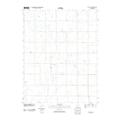
2010 Map of McCune NE
USGS Topo · Published 2010About this map
Hickory Creek and its various tributaries define the drainage of this prairie landscape in Crawford County, where the southern reaches of the map touch the banks of the Neosho River. This 2010 survey illustrates a strictly organized agricultural grid, with section lines marked by routes such as Wallace Rd and W 600th Ave. For genealogists and local historians, the map is an essential record of several rural burial grounds that anchor the landscape, including Valley City Cemetery, Frog Cemetery, Dumbald Cemetery, and Lakeview Cemetery. These sites, along with smaller waterways like Murphy Creek, serve as the primary landmarks in an area dominated by large farm tracts and a highly developed network of secondary roads including Yale Rd.
Find a feature on this map
30 named features on this map. Tap any name to fly to it.
Don’t see what you’re looking for? This feature index may not catch every label — zoom into the map to look around manually.
Map Details
Editions of this 2010 McCune NE Map
This is the sole edition of this map. No revisions or reprints were ever made.
Other maps of this area

1884 · Fort Scott
USGS Topo · 1:125,000

1886 · Joplin
USGS Topo · 1:125,000

1886 · Iola
USGS Topo · 1:125,000

1886 · Fort Scott
USGS Topo · 1:125,000

1886 · Parsons
USGS Topo · 1:125,000

1893 · Fort Scott
USGS Topo · 1:125,000

1893 · Iola
USGS Topo · 1:125,000

1893 · Parsons
USGS Topo · 1:125,000

1894 · Joplin
USGS Topo · 1:125,000

1904 · Iola
USGS Topo · 1:125,000