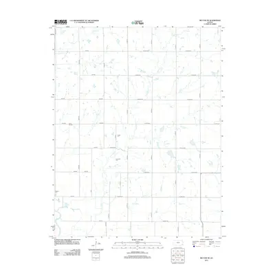
2012 Map of McCune NE
USGS Topo · Published 2012About this map
Hickory Cr and Murphy Cr drain this section of Crawford County, where the landscape is defined by a rigid grid of rural roads and scattered homesteads. The southwestern corner of the quadrangle is marked by the presence of the Neosho River, which feeds into Halfmoon Lake and the smaller Little Halfmoon Lake. This area maintains a strong connection to its pioneer roots, evidenced by the preservation of several small burial grounds including Valley City Cem and Richland Cem. The rectilinear road network, consisting of routes like Xavier Rd and W 570th Ave, reflects the systematic land division that organized the Kansas prairie for agricultural development. These cemeteries, such as Frogge Cem and Dumbauld Cem, serve as primary genealogical anchors for families who settled these sections.
Find a feature on this map
38 named features on this map. Tap any name to fly to it.
Don’t see what you’re looking for? This feature index may not catch every label — zoom into the map to look around manually.
Map Details
Editions of this 2012 McCune NE Map
This is the sole edition of this map. No revisions or reprints were ever made.
Other maps of this area

1884 · Fort Scott
USGS Topo · 1:125,000

1886 · Joplin
USGS Topo · 1:125,000

1886 · Iola
USGS Topo · 1:125,000

1886 · Fort Scott
USGS Topo · 1:125,000

1886 · Parsons
USGS Topo · 1:125,000

1893 · Fort Scott
USGS Topo · 1:125,000

1893 · Iola
USGS Topo · 1:125,000

1893 · Parsons
USGS Topo · 1:125,000

1894 · Joplin
USGS Topo · 1:125,000

1904 · Iola
USGS Topo · 1:125,000