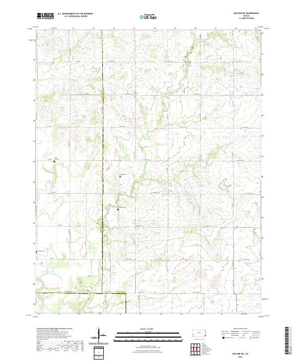
2022 Map of McCune NE
USGS Topo · Published 2022About this map
Small rural burying grounds and meandering prairie creeks define this corner of Southeast Kansas where the borders of Crawford, Neosho, and Labette counties meet. Valley City Cem, Frogge Cem, Dumbauld Cem, and Richland Cem are preserved throughout the landscape, providing essential touchpoints for genealogists and local historians tracing the early settlement of the region. The terrain is shaped by the southern flow of the Neosho River in the southwest corner, which feeds into Little Halfmoon Lake. Away from the river, the drainage patterns of Hickory Cr and Murphy Cr cut through a grid of section-line roads, including Wallace Rd and Xavier Rd, reflecting the enduring agricultural layout of the Midwestern plains.
Find a feature on this map
46 named features on this map. Tap any name to fly to it.
Don’t see what you’re looking for? This feature index may not catch every label — zoom into the map to look around manually.
Map Details
Editions of this 2022 McCune NE Map
This is the sole edition of this map. No revisions or reprints were ever made.
Other maps of this area

1884 · Fort Scott
USGS Topo · 1:125,000

1886 · Joplin
USGS Topo · 1:125,000

1886 · Iola
USGS Topo · 1:125,000

1886 · Fort Scott
USGS Topo · 1:125,000

1886 · Parsons
USGS Topo · 1:125,000

1893 · Fort Scott
USGS Topo · 1:125,000

1893 · Iola
USGS Topo · 1:125,000

1893 · Parsons
USGS Topo · 1:125,000

1894 · Joplin
USGS Topo · 1:125,000

1904 · Iola
USGS Topo · 1:125,000