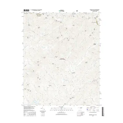
2016 Map of McDaniel Bald
USGS Topo · Published 2016About this map
McDaniel Bald and the surrounding high ridges of the Snowbird Mountains define this borderland where North Carolina and Tennessee meet. Most of the terrain is protected within the Nantahala National Forest, where the headwaters of the Tellico River and Hanging Dog Cr originate among numerous gaps and knobs. Small settlements such as Ebenezer, Grandview, and Boiling Springs occupy the lower elevations along the southern and eastern edges of the quadrangle. Local genealogy is preserved at sites like Bryson Cem and James Cem, while the landscape is marked by a legacy of family-named landmarks including Jenks Knob, Tipton Knob, and Radford Top. This modern survey reflects the enduring rural character of Cherokee County, showing traditional river crossings like Fain Ford and the network of mountain passages like Tipton Gap and Harshaw Gap.
Find a feature on this map
97 named features on this map. Tap any name to fly to it.
Don’t see what you’re looking for? This feature index may not catch every label — zoom into the map to look around manually.
Map Details
Editions of this 2016 McDaniel Bald Map
This is the sole edition of this map. No revisions or reprints were ever made.
Other maps of this area

1893 · Murphy
USGS Topo · 1:125,000

1914 · Murphy
USGS Topo · 1:125,000

1927 · Big Junction
USGS Topo · 1:24,000

1933 · Haw Knob
USGS Topo · 1:48,000

1933 · Bald River Falls
USGS Topo · 1:24,000

1934 · Murphy
USGS Topo · 1:24,000

1934 · Persimmon Creek
USGS Topo · 1:24,000

1934 · McDaniel Bald
USGS Topo · 1:24,000

1934 · Unaka
USGS Topo · 1:24,000

1934 · Murphy
USGS Topo · 1:48,000