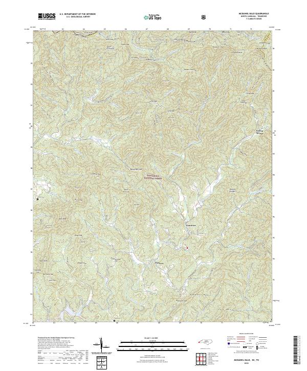
2022 Map of McDaniel Bald
USGS Topo · Published 2022About this map
The Unicoi Mountains and Snowbird Mountains converge in this high-altitude section of the Nantahala National Forest along the North Carolina and Tennessee border. Small settlements like Ebenezer and Grandview anchor the valleys where Hanging-Dog Creek and Owl Creek begin their descent toward the Hiwassee basin. The map reveals a landscape defined by significant gaps and peaks, including the prominent McDaniel Bald and Hawk Knob. For genealogists and local historians, the placement of the Bryson Cemetery and James Cemetery provides specific points of interest within the remote terrain. The presence of Fain Ford on the Tellico River and numerous labeled trails like Trail 1 suggests a continuation of historical movement patterns through the mountain passes long after the era of early settlement.
Find a feature on this map
101 named features on this map. Tap any name to fly to it.
Don’t see what you’re looking for? This feature index may not catch every label — zoom into the map to look around manually.
Map Details
Editions of this 2022 McDaniel Bald Map
This is the sole edition of this map. No revisions or reprints were ever made.
Other maps of this area

1893 · Murphy
USGS Topo · 1:125,000

1914 · Murphy
USGS Topo · 1:125,000

1927 · Big Junction
USGS Topo · 1:24,000

1933 · Haw Knob
USGS Topo · 1:48,000

1933 · Bald River Falls
USGS Topo · 1:24,000

1934 · Murphy
USGS Topo · 1:24,000

1934 · Persimmon Creek
USGS Topo · 1:24,000

1934 · McDaniel Bald
USGS Topo · 1:24,000

1934 · Unaka
USGS Topo · 1:24,000

1934 · Murphy
USGS Topo · 1:48,000