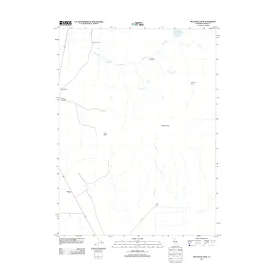
2012 Map of McDonald Peak
USGS Topo · Published 2012About this map
Mendiboure Ranch and the eponymous McDonald Peak anchor this high-desert region of Lassen County during the early 21st century. The landscape is defined by its ranching history and essential water management, visible in the network of springs and reservoirs that sustain the arid terrain. Names such as Jones Ranch and Mendiboure Reservoir reflect the family-led land use that has shaped this corner of California. The geography transitions from the flat expanse of Skeleton Flat to the higher elevations of Three Peaks and Threemile Canyon.
Find a feature on this map
21 named features on this map. Tap any name to fly to it.
Don’t see what you’re looking for? This feature index may not catch every label — zoom into the map to look around manually.
Map Details
Editions of this 2012 McDonald Peak Map
This is the sole edition of this map. No revisions or reprints were ever made.
Other maps of this area

1886 · Alturas
USGS Topo · 1:250,000

1886 · Honey Lake
USGS Topo · 1:250,000

1891 · Honey Lake
USGS Topo · 1:250,000

1892 · Alturas
USGS Topo · 1:250,000

1893 · Honey Lake
USGS Topo · 1:250,000

1954 · Grasshopper Valley
USGS Topo · 1:62,500

1954 · Ravendale
USGS Topo · 1:62,500

1954 · Alturas
USGS Topo · 1:250,000

1955 · Westwood
USGS Topo · 1:250,000

1958 · Alturas
USGS Topo · 1:250,000