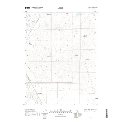
2018 Map of McDonald Peak
USGS Topo · Published 2018About this map
Brockman and Moran sit along the western edge of this Lassen County landscape, marking points of human presence in a high-elevation basin. The transition from the flat expanse of the Madeline Plains to the rising terrain of McDonald Peak and Olson Mtn dictates the local geography, where water management is central to the area's utility. A network of man-made catchments, including Mendiboure Reservoir, Van Loan Reservoir, and Threemile Reservoir, suggests a landscape organized around seasonal water storage for ranching or land management. The former rail corridor has been repurposed as the LLTT Modoc Line Rail Trail, tracing a historic transportation route through the plains. Numerous named springs such as Lanning Spring, Poulsen Spring, and Big Springs dot the eastern slopes, providing vital water sources in the high country near Skeleton Flat.
Find a feature on this map
30 named features on this map. Tap any name to fly to it.
Don’t see what you’re looking for? This feature index may not catch every label — zoom into the map to look around manually.
Map Details
Editions of this 2018 McDonald Peak Map
This is the sole edition of this map. No revisions or reprints were ever made.
Other maps of this area

1886 · Alturas
USGS Topo · 1:250,000

1886 · Honey Lake
USGS Topo · 1:250,000

1891 · Honey Lake
USGS Topo · 1:250,000

1892 · Alturas
USGS Topo · 1:250,000

1893 · Honey Lake
USGS Topo · 1:250,000

1954 · Grasshopper Valley
USGS Topo · 1:62,500

1954 · Ravendale
USGS Topo · 1:62,500

1954 · Alturas
USGS Topo · 1:250,000

1955 · Westwood
USGS Topo · 1:250,000

1958 · Alturas
USGS Topo · 1:250,000