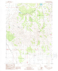
1989 Map of McDonald Peak
USGS Topo · Published 1989About this map
The Madeline Plains stretch across the northern reaches of Lassen County, where high-desert ranching and water management define the landscape. This 1989 provisional map documents the vital infrastructure of the era, from the Mendiboure Reservoir and Van Loan Reservoir to the numerous springs that sustain the region, including Poulsen Spring and Big Springs. The topography is dominated by the volcanic forms of McDonald Peak and Three Peaks, providing a clear view of the transition from the flat plains to the more varied terrain of Threemile Canyon.
Find a feature on this map
28 named features on this map. Tap any name to fly to it.
Don’t see what you’re looking for? This feature index may not catch every label — zoom into the map to look around manually.
Map Details
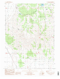
Editions of this 1989 McDonald Peak Map
2 editions found
Other maps of this area

1886 · Alturas
USGS Topo · 1:250,000

1886 · Honey Lake
USGS Topo · 1:250,000

1891 · Honey Lake
USGS Topo · 1:250,000

1892 · Alturas
USGS Topo · 1:250,000

1893 · Honey Lake
USGS Topo · 1:250,000

1954 · Grasshopper Valley
USGS Topo · 1:62,500

1954 · Ravendale
USGS Topo · 1:62,500

1954 · Alturas
USGS Topo · 1:250,000

1955 · Westwood
USGS Topo · 1:250,000

1958 · Alturas
USGS Topo · 1:250,000