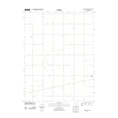
2012 Map of McDonald SW
USGS Topo · Published 2012About this map
The high plains of Rawlins County are defined by a vast, organized grid of section roads and the winding course of N Beaver Cr in this 2012 study. Centered around the small community of McDonald, the landscape is primarily agricultural, reflecting the steady rhythms of Northwest Kansas. Local genealogy is anchored by the presence of Evergreen Cem in the northwest and Grace Cem just west of the town site, marking the generational history of the area. Significant transit corridors such as Co Hwy S and Co Line Rd intersect the terrain, illustrating the connectivity between rural homesteads and regional centers. The map provides a clear look at the sparse but vital infrastructure, from the named roads like Road P and Road 33 to the natural drainage patterns that have shaped land use since early settlement.
Find a feature on this map
19 named features on this map. Tap any name to fly to it.
Don’t see what you’re looking for? This feature index may not catch every label — zoom into the map to look around manually.
Map Details
Editions of this 2012 McDonald SW Map
This is the sole edition of this map. No revisions or reprints were ever made.
Other maps of this area

1950 · Mc Donald
USGS Topo · 1:62,500

1951 · Bird City North
USGS Topo · 1:62,500

1951 · Mc Donald
USGS Topo · 1:62,500

1951 · Bird City South
USGS Topo · 1:62,500

1951 · Dewey Ranch
USGS Topo · 1:62,500

1954 · Goodland
USGS Topo · 1:250,000

1956 · Goodland
USGS Topo · 1:250,000

1957 · Goodland
USGS Topo · 1:250,000

1976 · Bird City North
USGS Topo · 1:24,000
1976 · Henkle Canyon
USGS Topo · 1:24,000