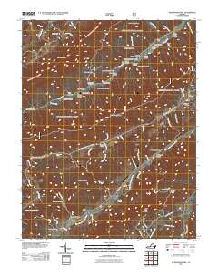
2011 Map of McDonalds Mill
USGS Topo · Published 2011About this map
North Fork Roanoke River and Craig Creek shape the drainage patterns of this Montgomery County landscape, where early 21st-century topography meets long-established family landholdings. The settlement at McDonalds Mill and the industrial footprint of Bennetts Mill along the river banks suggest a history of water-powered milling that once anchored the local economy. Steep ridges and named hollows, such as Blankenship Hollow and California Hollow, define the narrow valleys where many of these sites are located.
Find a feature on this map
76 named features on this map. Tap any name to fly to it.
Don’t see what you’re looking for? This feature index may not catch every label — zoom into the map to look around manually.
Map Details
Editions of this 2011 McDonalds Mill Map
This is the sole edition of this map. No revisions or reprints were ever made.
Other maps of this area

1890 · Christiansburg
USGS Topo · 1:125,000

1923 · Waiteville
USGS Topo · 1:62,500

1929 · Salem
USGS Topo · 1:48,000

1931 · Waiteville
USGS Topo · 1:48,000

1932 · Salem
USGS Topo · 1:62,500

1932 · Blacksburg
USGS Topo · 1:48,000

1937 · Blacksburg
USGS Topo · 1:62,500

1944 · Waiteville
USGS Topo · 1:62,500

1950 · Elliston
USGS Topo · 1:62,500

1951 · Waiteville
USGS Topo · 1:62,500