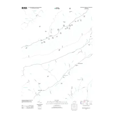
2013 Map of McDonalds Mill
USGS Topo · Published 2013About this map
McDonalds Mill and Bennetts Mill anchor this part of the Virginia highlands, where the N Fork Roanoke River carves a deep valley through the terrain. The landscape is defined by a dense network of hollows, many carrying family names that hint at the region's genealogical history, such as Aiken Dam Hollow, Rush Hollow, and Blankenship Hollow. These narrow drainages feed into larger watercourses like Sinking Cr and Craig Cr, which have shaped the settlement patterns and road networks for generations.
Find a feature on this map
87 named features on this map. Tap any name to fly to it.
Don’t see what you’re looking for? This feature index may not catch every label — zoom into the map to look around manually.
Map Details
Editions of this 2013 McDonalds Mill Map
This is the sole edition of this map. No revisions or reprints were ever made.
Other maps of this area

1890 · Christiansburg
USGS Topo · 1:125,000

1923 · Waiteville
USGS Topo · 1:62,500

1929 · Salem
USGS Topo · 1:48,000

1931 · Waiteville
USGS Topo · 1:48,000

1932 · Salem
USGS Topo · 1:62,500

1932 · Blacksburg
USGS Topo · 1:48,000

1937 · Blacksburg
USGS Topo · 1:62,500

1944 · Waiteville
USGS Topo · 1:62,500

1950 · Elliston
USGS Topo · 1:62,500

1951 · Waiteville
USGS Topo · 1:62,500