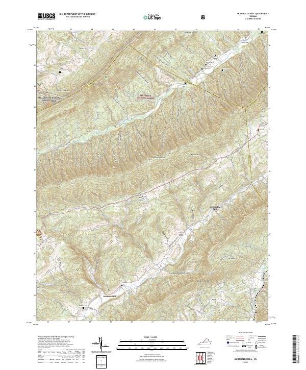
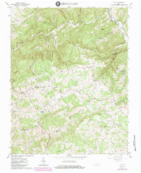
2022 Map of McDonalds Mill
USGS Topo · Published 2022About this map
Bennetts Mill and McDonalds Mill anchor the local geography of this Montgomery County landscape, where the N Fork Roanoke River and Craig Creek carve through the deep ridges of the Jefferson National Forest. The map reveals a deeply rooted rural community, marked by numerous private family burial grounds such as the Whitlock Family Cem, Gary Francisco Family Cem, and Newton Duncan Family Cem. This 2022 survey documents the persistent agricultural and residential patterns along the valleys of Paris Mtn and Sinking Creek Mtn, where modern infrastructure like the Catawba Valley Airport sits alongside the ancient path of the Appalachian National Scenic Trail. The network of hollows, including California Hollow and Aiken Dam Hollow, illustrates the complex drainage and settlement patterns that have defined this corner of Virginia for generations.
Find a feature on this map
104 named features on this map. Tap any name to fly to it.
Don’t see what you’re looking for? This feature index may not catch every label — zoom into the map to look around manually.
Map Details
Editions of this 2022 McDonalds Mill Map
This is the sole edition of this map. No revisions or reprints were ever made.
Historical Maps of McDonalds Mill Through Time
13 maps found
1965 Ironto
Montgomery County, VA
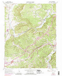
1965 Mc Donalds Mill
Montgomery County, VA
1965 Newport
Montgomery County, VA
1965 Pilot
Montgomery County, VA

1965 Radford North
Montgomery County, VA
1982 Radford
Montgomery County, VA
1998 Newport
Montgomery County, VA
1998 Radford North
Montgomery County, VA
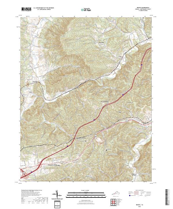
2022 Ironto
Montgomery County, VA
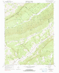
2022 McDonalds Mill
Montgomery County, VA
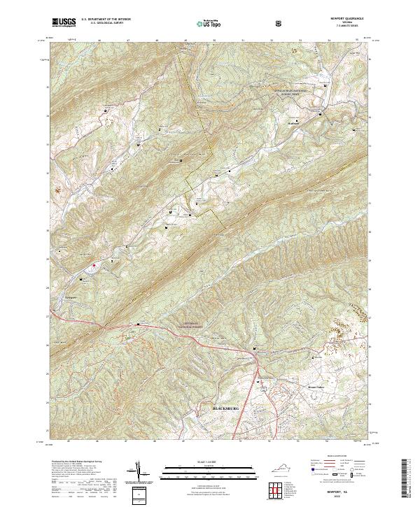
2022 Newport
Montgomery County, VA
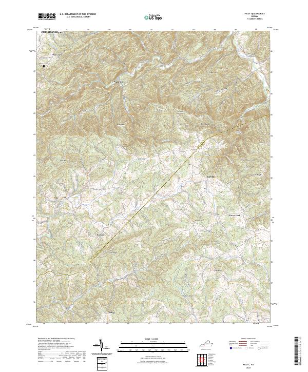
2022 Pilot
Montgomery County, VA
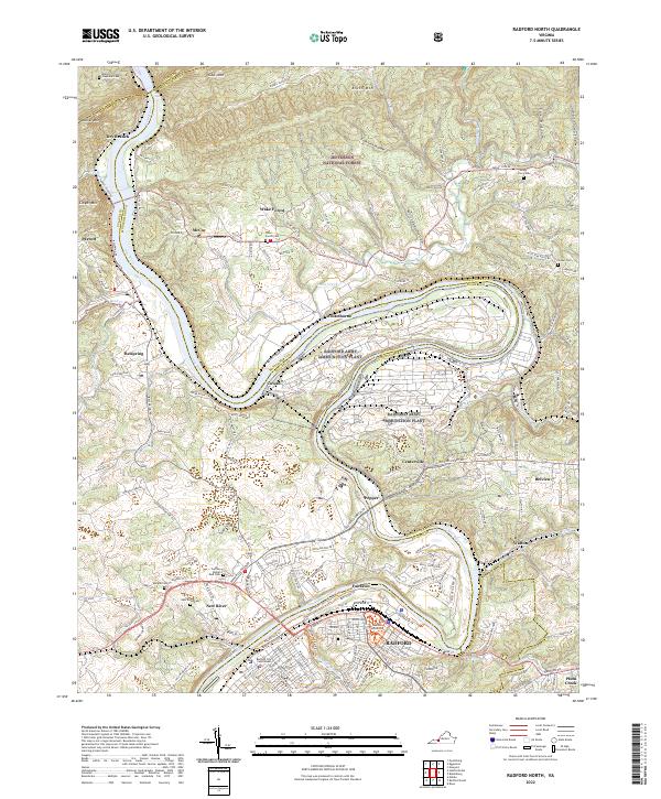
2022 Radford North
Montgomery County, VA