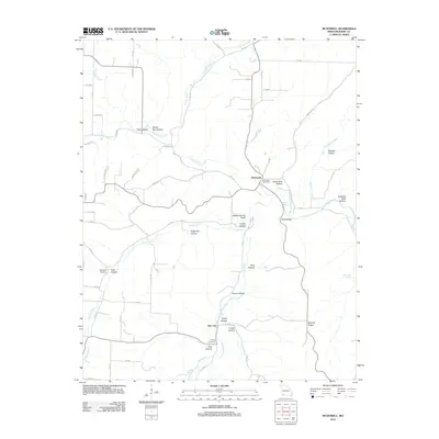
2012 Map of McDowell
USGS Topo · Published 2012About this map
Flat Creek and its many tributaries carve through the Barry County landscape, defining the rural character of this southern Missouri region. The small settlement of McDowell serves as a focal point near the center of the quadrangle, where the McDowell Post Office remains a landmark of local infrastructure. To the south, the community of Star City sits near the winding course of the creek, surrounded by a complex network of named valleys such as Kemp Hollow and Cross Hollow.
Find a feature on this map
65 named features on this map. Tap any name to fly to it.
Don’t see what you’re looking for? This feature index may not catch every label — zoom into the map to look around manually.
Map Details
Editions of this 2012 McDowell Map
This is the sole edition of this map. No revisions or reprints were ever made.
Other maps of this area

1927 · Shell Knob
USGS Topo · 1:62,500

1937 · Cassville
USGS Topo · 1:48,000

1942 · Aurora
USGS Topo · 1:62,500

1943 · Monett
USGS Topo · 1:62,500

1944 · Cassville
USGS Topo · 1:62,500

1945 · Harrison
USGS Topo · 1:250,000

1945 · Aurora
USGS Topo · 1:62,500

1949 · Harrison
USGS Topo · 1:250,000

1950 · Shell Knob
USGS Topo · 1:62,500

1954 · Harrison
USGS Topo · 1:250,000