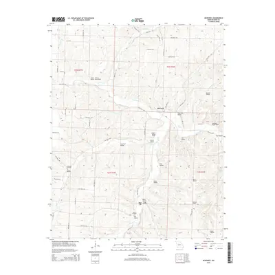
2015 Map of McDowell
USGS Topo · Published 2015About this map
McDowell and Star City anchor this Barry County landscape, where a dense network of valleys and ridges defines the local geography. The area is characterized by numerous named hollows, such as Camp Bliss Hollow and Swallow Bluff Hollow, reflecting a long history of local place-naming tied to the undulating terrain. Water is a central feature of the district, with Little Flat Cr and Flat Creek joined by several notable springs, including Hilton Spring and Wall Bluff Spring. For those researching family history, the map identifies key landmarks like Bullington Cemetery and Sparks Cemetery. The presence of Brights Spring Knoll and Bennett Ridge suggests a landscape where movement was traditionally dictated by the winding creek beds and the high ground between them.
Find a feature on this map
64 named features on this map. Tap any name to fly to it.
Don’t see what you’re looking for? This feature index may not catch every label — zoom into the map to look around manually.
Map Details
Editions of this 2015 McDowell Map
This is the sole edition of this map. No revisions or reprints were ever made.
Other maps of this area

1927 · Shell Knob
USGS Topo · 1:62,500

1937 · Cassville
USGS Topo · 1:48,000

1942 · Aurora
USGS Topo · 1:62,500

1943 · Monett
USGS Topo · 1:62,500

1944 · Cassville
USGS Topo · 1:62,500

1945 · Harrison
USGS Topo · 1:250,000

1945 · Aurora
USGS Topo · 1:62,500

1949 · Harrison
USGS Topo · 1:250,000

1950 · Shell Knob
USGS Topo · 1:62,500

1954 · Harrison
USGS Topo · 1:250,000