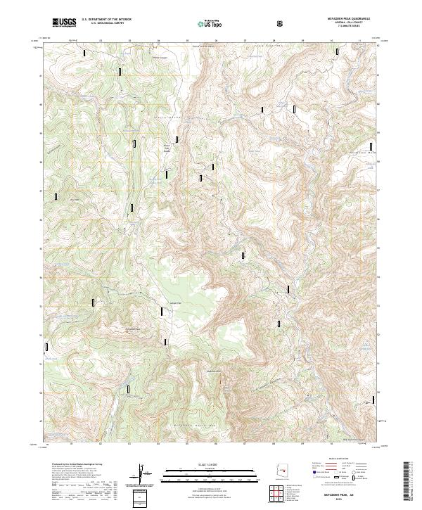
2023 Map of McFadden Peak
USGS Topo · Published 2023About this map
The Sierra Ancha Wilderness dominates this Gila County landscape, where deep canyons and high mesas define the high-desert terrain. Central to the area is McFadden Peak, a prominent landmark surrounded by a network of drainage systems including Cherry Creek, Ash Creek, and McFadden Creek. The survey illustrates a region largely preserved in its primitive state, with access limited to routes like the State Hwy 288 Scn and backcountry trails such as the McFadden Park Trl and Grapevine Trl. Numerous springs and stock tanks, such as Board Tree Spring, China Spring Tank, and Olliger Mesa Tank, dot the mesas, indicating the area's history with livestock and water management in a demanding environment. The inclusion of the Salome Wilderness at the southern edge further underscores the protected nature of this mountain range.
Find a feature on this map
72 named features on this map. Tap any name to fly to it.
Don’t see what you’re looking for? This feature index may not catch every label — zoom into the map to look around manually.
Map Details
Editions of this 2023 McFadden Peak Map
This is the sole edition of this map. No revisions or reprints were ever made.
Other maps of this area

1886 · Holbrook
USGS Topo · 1:250,000

1887 · Verde
USGS Topo · 1:250,000

1892 · Verde
USGS Topo · 1:250,000

1893 · Holbrook
USGS Topo · 1:250,000

1907 · Roosevelt
USGS Topo · 1:125,000

1909 · Four Peaks
USGS Topo · 1:125,000

1912 · Roosevelt
USGS Topo · 1:125,000

1922 · Chrysotile
USGS Topo · 1:125,000

1937 · Diamond Butte
USGS Topo · 1:48,000

1943 · Diamond Butte
USGS Topo · 1:62,500