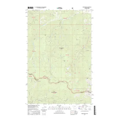
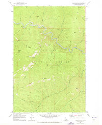
2017 Map of McGee Peak
USGS Topo · Published 2017About this map
The Bitterroot Range forms a prominent natural boundary along this high-altitude stretch of the Montana-Idaho border, separating Lolo National Forest to the north from the St. Joe National Forest to the south. This alpine landscape is defined by its significant peaks, including McGee Peak, Eagle Peak, and Craddock Peak, which anchor a complex network of glacial cirques and high-mountain lakes. Multiple water bodies are scattered across the terrain, notably Crystal Lake, Rudie Lake, and Mary Lake.
Find a feature on this map
49 named features on this map. Tap any name to fly to it.
Don’t see what you’re looking for? This feature index may not catch every label — zoom into the map to look around manually.
Map Details
Editions of this 2017 McGee Peak Map
This is the sole edition of this map. No revisions or reprints were ever made.
Other maps of this area
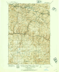
1914 · Avery
USGS Topo · 1:125,000
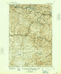
1917 · Avery
USGS Topo · 1:125,000
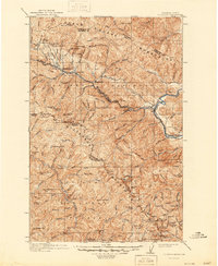
1918 · St Regis
USGS Topo · 1:125,000
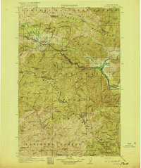
1919 · St. Regis
USGS Topo · 1:125,000
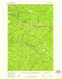
1956 · Saltese
USGS Topo · 1:62,500

1956 · Wallace
USGS Topo · 1:250,000
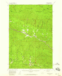
1957 · Haugan
USGS Topo · 1:62,500
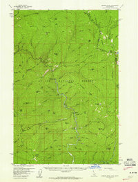
1957 · Simmons Peak
USGS Topo · 1:62,500

1960 · Wallace
USGS Topo · 1:250,000
1969 · Thor Mountain
USGS Topo · 1:24,000