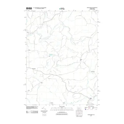
2010 Map of McGees Mills
USGS Topo · Published 2010About this map
McGees Mills sits at the southern edge of this landscape, marking a historic junction where Whisky Run and Bear Run converge near the Covered Bridge Rd. The area is defined by a dense network of winding rural roads and small settlements like Bowersville and Newtonburg that grew along the ridges and creek valleys. Central to the local infrastructure is the Punxsutawney Reservoir, held by Clover Dam along the course of Clover Run. This geography reveals a pattern of dispersed Appalachian settlement where family names are preserved in landmarks like McClure Cemetery and Bowers Cemetery. The map documents a landscape of numerous small runs and creeks, including Stump Creek and Ugly Run, which have historically shaped the road placements and property boundaries throughout Indiana County.
Find a feature on this map
59 named features on this map. Tap any name to fly to it.
Don’t see what you’re looking for? This feature index may not catch every label — zoom into the map to look around manually.
Map Details
Editions of this 2010 McGees Mills Map
This is the sole edition of this map. No revisions or reprints were ever made.
Other maps of this area

1903 · Curwensville
USGS Topo · 1:62,500

1906 · Punxsutawney
USGS Topo · 1:62,500

1922 · Du Bois
USGS Topo · 1:62,500

1924 · Du Bois
USGS Topo · 1:62,500

1929 · Penfield
USGS Topo · 1:62,500

1932 · Penfield
USGS Topo · 1:62,500

1939 · Curwensville
USGS Topo · 1:62,500

1939 · Punxsutawney
USGS Topo · 1:62,500

1942 · Curwensville
USGS Topo · 1:62,500

1942 · Punxsutawney
USGS Topo · 1:62,500
Featured Places
- Banks Township, PA
- Sidney, Banks Township
- Flora, Banks Township
- Clover Run, Bell Township
- Henderson Township, PA