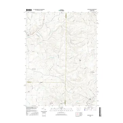
2016 Map of McGees Mills
USGS Topo · Published 2016About this map
Mahoning Creek and its many tributaries carve a path through this section of the Allegheny Plateau, where the borders of Jefferson, Clearfield, and Indiana counties meet. In the northwest, the borough of Big Run serves as a local hub along the East Branch Mahoning Creek, while the Punxsutawney Reservoir dominates the central drainage of Clover Run. The landscape is a network of small, scattered settlements such as Bowersville, Hillman, and Sidney, many of which developed around the local watercourses and early road networks like Pike Rd and Whiskey Run Rd.
Find a feature on this map
79 named features on this map. Tap any name to fly to it.
Don’t see what you’re looking for? This feature index may not catch every label — zoom into the map to look around manually.
Map Details
Editions of this 2016 McGees Mills Map
This is the sole edition of this map. No revisions or reprints were ever made.
Other maps of this area

1903 · Curwensville
USGS Topo · 1:62,500

1906 · Punxsutawney
USGS Topo · 1:62,500

1922 · Du Bois
USGS Topo · 1:62,500

1924 · Du Bois
USGS Topo · 1:62,500

1929 · Penfield
USGS Topo · 1:62,500

1932 · Penfield
USGS Topo · 1:62,500

1939 · Curwensville
USGS Topo · 1:62,500

1939 · Punxsutawney
USGS Topo · 1:62,500

1942 · Curwensville
USGS Topo · 1:62,500

1942 · Punxsutawney
USGS Topo · 1:62,500
Featured Places
- Banks Township, PA
- Sidney, Banks Township
- Flora, Banks Township
- Clover Run, Bell Township
- Henderson Township, PA