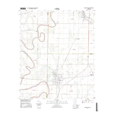
2017 Map of McGehee South
USGS Topo · Published 2017About this map
Bayou Bartholomew snakes through this southeast Arkansas landscape, defining the agricultural and hydrological character of the region. The map captures the significant transition point where the city of Dermott sits near the junction of three counties — Drew, Desha, and Chicot. This area is characterized by low-lying wetlands and sluggish water bodies like Tupelo Brake, Northern Brake, and Big Bayou Slough, which weave between strictly gridded farm roads.
Find a feature on this map
107 named features on this map. Tap any name to fly to it.
Don’t see what you’re looking for? This feature index may not catch every label — zoom into the map to look around manually.
Map Details
Editions of this 2017 McGehee South Map
This is the sole edition of this map. No revisions or reprints were ever made.
Other maps of this area

1935 · Mist
USGS Topo · 1:62,500

1935 · Cominto
USGS Topo · 1:62,500

1936 · McGehee
USGS Topo · 1:62,500

1936 · Lake Village
USGS Topo · 1:62,500

1937 · McGehee
USGS Topo · 1:62,500

1953 · Greenwood
USGS Topo · 1:250,000

1955 · Lake Village
USGS Topo · 1:62,500

1955 · McGehee
USGS Topo · 1:62,500

1956 · Greenwood
USGS Topo · 1:250,000

1960 · Mist
USGS Topo · 1:62,500