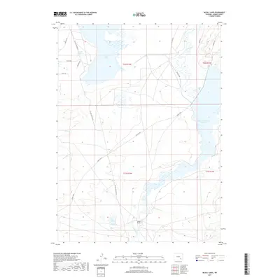
2017 Map of McGill Lakes
USGS Topo · Published 2017About this map
The Laramie River winds through this high-plains landscape in Albany County, where water management and historic transit routes define the terrain. The central drainage is punctuated by the McGill Bridge, a key crossing point for local ranching travel. This area showcases a complex network of surface water, including the sprawling Wheatland Reservoir Number Two along the eastern edge and the clustered McGill Lakes to the northwest. The historic Old Fort Fetterman Rd cuts across the western sections of the map, tracing a path that long served as a vital corridor through the Wyoming interior. Smaller water features such as Post Lake, Twin Lakes, and Spring Cr illustrate the drainage patterns that sustain the local livestock industry, while roads like Kite Ranch Rd and Round Top Rd connect the isolated ranching outposts of the region.
Find a feature on this map
22 named features on this map. Tap any name to fly to it.
Don’t see what you’re looking for? This feature index may not catch every label — zoom into the map to look around manually.
Map Details
Editions of this 2017 McGill Lakes Map
This is the sole edition of this map. No revisions or reprints were ever made.
Other maps of this area
1954 · Cheyenne
USGS Topo · 1:250,000
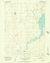
1955 · Mc Gill Lakes
USGS Topo · 1:24,000
1955 · Dodge Ranch
USGS Topo · 1:24,000
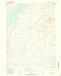
1955 · Bluegrass Wells
USGS Topo · 1:24,000
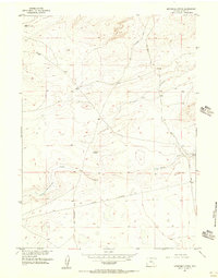
1955 · Sevenmile Spring
USGS Topo · 1:24,000
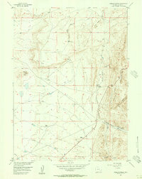
1955 · Sybille Springs
USGS Topo · 1:24,000
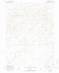
1955 · Ayres Spring
USGS Topo · 1:24,000
1955 · Cooper Lake North
USGS Topo · 1:24,000
1955 · Lake Ione
USGS Topo · 1:24,000
1955 · Cannonball Cut
USGS Topo · 1:24,000