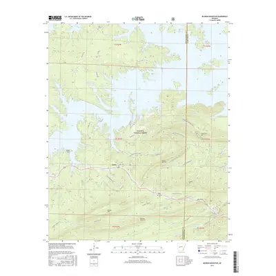
2017 Map of McGraw Mountain
USGS Topo · Published 2017About this map
Joplin serves as a central hub on this map, situated within the expansive reaches of the Ouachita National Forest. The landscape is dominated by the intricate, branching shoreline of Lake Ouachita, which creates numerous peninsulas such as Denby Point. The southern portion of the sheet is defined by substantial ridges including McGraw Mountain, Bashaw Mtn, and Broken Rock Mtn, indicating a terrain where settlement followed the lower elevations of the Gap Creek and Caney Creek drainages. Genealogists will find several burial sites preserved in the record, including the Joplin Cem, Murphy Cem, and the northerly Little Fir Cem. Modern recreational development is evident through an extensive network of footpaths, most notably the Lake Ouachita Vista Trail and the Hickory Nut Lakeside Trail, which wind through the timbered slopes and along the water's edge.
Find a feature on this map
48 named features on this map. Tap any name to fly to it.
Don’t see what you’re looking for? This feature index may not catch every label — zoom into the map to look around manually.
Map Details
Editions of this 2017 McGraw Mountain Map
This is the sole edition of this map. No revisions or reprints were ever made.
Other maps of this area
1890 · Mount Ida
USGS Topo · 1:125,000
1890 · Hot Springs
USGS Topo · 1:125,000
1894 · Hot Springs
USGS Topo · 1:125,000
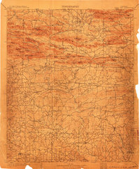
1906 · Caddo Gap
USGS Topo · 1:125,000
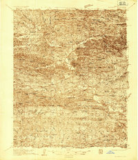
1936 · Glenwood
USGS Topo · 1:48,000
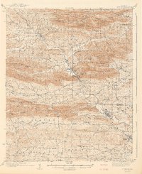
1942 · Glenwood
USGS Topo · 1:62,500
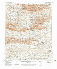
1949 · Glenwood
USGS Topo · 1:62,500
1955 · Little Rock
USGS Topo · 1:250,000
1956 · Little Rock
USGS Topo · 1:250,000
1959 · Mount Ida
USGS Topo · 1:62,500