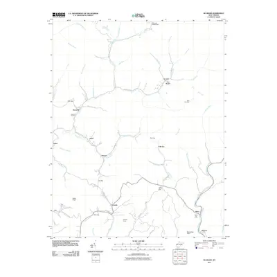
2011 Map of McGraws
USGS Topo · Published 2011About this map
Glen Rogers and the surrounding coal country of Wyoming County are defined by a network of steep ridges and narrow hollows where settlements like McGraws and Ravencliff follow the winding paths of Marsh Fork and Milam Fork. The landscape is etched with the markers of a mountain economy, from the Slab Fork railroad line serving the southeastern corner to the scattered post offices that anchored these small communities. Family history is centered at locations like the Frye Cemetery near Rockcastle Creek. Significant geographic transitions occur at mountain passes such as Polk Gap and Station Gap, which historically facilitated movement between the isolated drainages of the Guyandotte River tributaries. The presence of the Buck Fork Dam and numerous named branches like Trough Fork and Bear Fork illustrates the complex hydrology that dictated the placement of early roads and homesteads.
Find a feature on this map
68 named features on this map. Tap any name to fly to it.
Don’t see what you’re looking for? This feature index may not catch every label — zoom into the map to look around manually.
Map Details
Editions of this 2011 McGraws Map
This is the sole edition of this map. No revisions or reprints were ever made.
Other maps of this area

1891 · Oceana
USGS Topo · 1:125,000

1891 · Raleigh
USGS Topo · 1:125,000

1893 · Oceana
USGS Topo · 1:125,000

1897 · Raleigh
USGS Topo · 1:125,000

1898 · Oceana
USGS Topo · 1:125,000

1902 · Raleigh
USGS Topo · 1:125,000

1910 · Pineville
USGS Topo · 1:48,000

1910 · Bald Knob
USGS Topo · 1:48,000

1911 · Marshes
USGS Topo · 1:48,000

1912 · Mullens
USGS Topo · 1:62,500