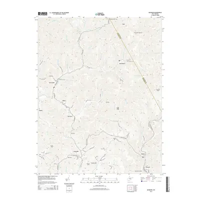
2014 Map of McGraws
USGS Topo · Published 2014About this map
Glen Rogers and the surrounding high country of Guyandotte Mountain define the topography of this portion of Wyoming and Raleigh Counties. The landscape is a dense network of ridges and deep hollows, where small settlements like Ravencliff, Milam, and McGraws are clustered along narrow valley floors. Transportation and industry are evidenced by the presence of a Private Mining Rd and the Poplar Gap Rd, reflecting the region's long-standing connection to coal extraction.
Find a feature on this map
96 named features on this map. Tap any name to fly to it.
Don’t see what you’re looking for? This feature index may not catch every label — zoom into the map to look around manually.
Map Details
Editions of this 2014 McGraws Map
This is the sole edition of this map. No revisions or reprints were ever made.
Other maps of this area

1891 · Oceana
USGS Topo · 1:125,000

1891 · Raleigh
USGS Topo · 1:125,000

1893 · Oceana
USGS Topo · 1:125,000

1897 · Raleigh
USGS Topo · 1:125,000

1898 · Oceana
USGS Topo · 1:125,000

1902 · Raleigh
USGS Topo · 1:125,000

1910 · Pineville
USGS Topo · 1:48,000

1910 · Bald Knob
USGS Topo · 1:48,000

1911 · Marshes
USGS Topo · 1:48,000

1912 · Mullens
USGS Topo · 1:62,500