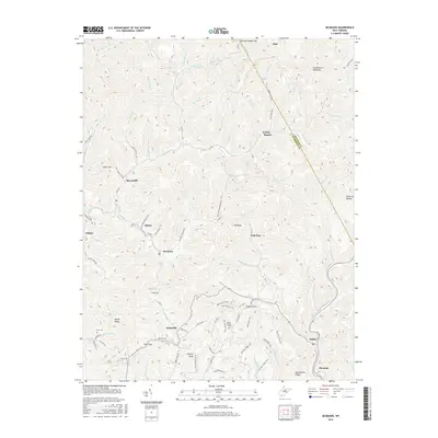
2016 Map of McGraws
USGS Topo · Published 2016About this map
Guyandotte Mountain dominates the northern horizon of this Wyoming County landscape, where the coal-country settlements of Glen Rogers, Ravencliff, and Sabine are tucked into the narrow valleys of the Appalachian Plateau. The map reveals a complex network of mountain hollows and ridges, including Bearwallow Ridge and Pretty Ridge, which dictated the winding paths of roads like Co HWY 1 and Phillips RD. Smaller communities such as McGraws and Saulsville serve as central nodes for the surrounding rural homesteads.
Find a feature on this map
90 named features on this map. Tap any name to fly to it.
Don’t see what you’re looking for? This feature index may not catch every label — zoom into the map to look around manually.
Map Details
Editions of this 2016 McGraws Map
This is the sole edition of this map. No revisions or reprints were ever made.
Other maps of this area

1891 · Oceana
USGS Topo · 1:125,000

1891 · Raleigh
USGS Topo · 1:125,000

1893 · Oceana
USGS Topo · 1:125,000

1897 · Raleigh
USGS Topo · 1:125,000

1898 · Oceana
USGS Topo · 1:125,000

1902 · Raleigh
USGS Topo · 1:125,000

1910 · Pineville
USGS Topo · 1:48,000

1910 · Bald Knob
USGS Topo · 1:48,000

1911 · Marshes
USGS Topo · 1:48,000

1912 · Mullens
USGS Topo · 1:62,500