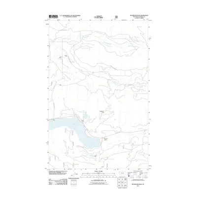
2011 Map of McGregor Peak
USGS Topo · Published 2011About this map
McGregor Peak dominates this Flathead County landscape, standing as a prominent landmark north of the expansive McGregor Lake. The area reflects a mix of remote wilderness and recreational outposts, notably at Boisvert Camp and Paradise Lodge, which serve as gateways to the high-country waters. The terrain is defined by the open expanse of Lost Prairie and the drainage systems of Bear Springs Creek and the Pleasant Valley Fisher River.
Find a feature on this map
18 named features on this map. Tap any name to fly to it.
Don’t see what you’re looking for? This feature index may not catch every label — zoom into the map to look around manually.
Map Details
Editions of this 2011 McGregor Peak Map
This is the sole edition of this map. No revisions or reprints were ever made.
Other maps of this area

1956 · Wallace
USGS Topo · 1:250,000

1957 · Kalispell
USGS Topo · 1:250,000

1960 · Kalispell
USGS Topo · 1:250,000

1960 · Wallace
USGS Topo · 1:250,000

1961 · Kalispell
USGS Topo · 1:250,000
1964 · Meadow Peak
USGS Topo · 1:24,000
1964 · Pleasant Valley Mountain
USGS Topo · 1:24,000
1964 · Hubbart Reservoir
USGS Topo · 1:24,000
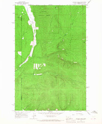
1964 · Shroder Creek
USGS Topo · 1:24,000
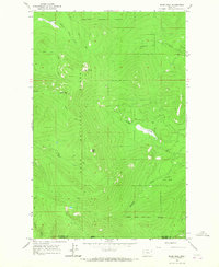
1964 · Murr Peak
USGS Topo · 1:24,000